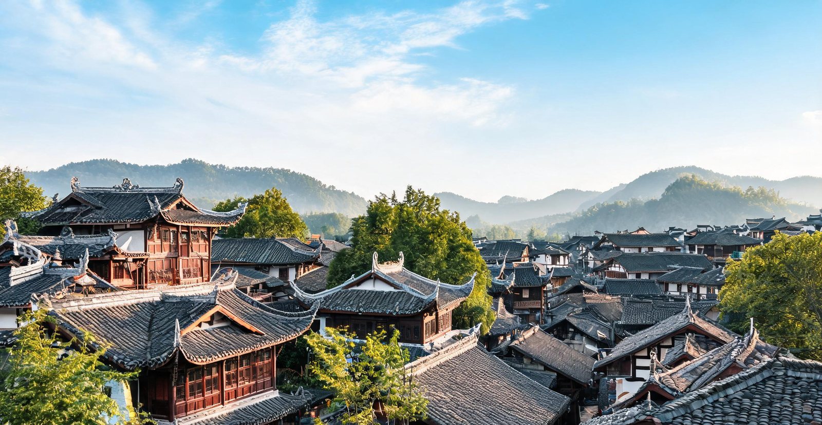
Sixty-two places, explained rather than rated: why a wall follows a ridge, how sandstone becomes three thousand pillars, what a merchant's house was built to say. Grouped by what they are — historic cities, modern China, natural wonders.
Historic Cities
Ancient Capitals and Imperial Walls
Twenty-three cities where dynasties rose and fell — imperial walls, old town lanes and temples that still stand.
Tap a marker on the map — then swipe left or right, or use the arrows, to browse the cities.
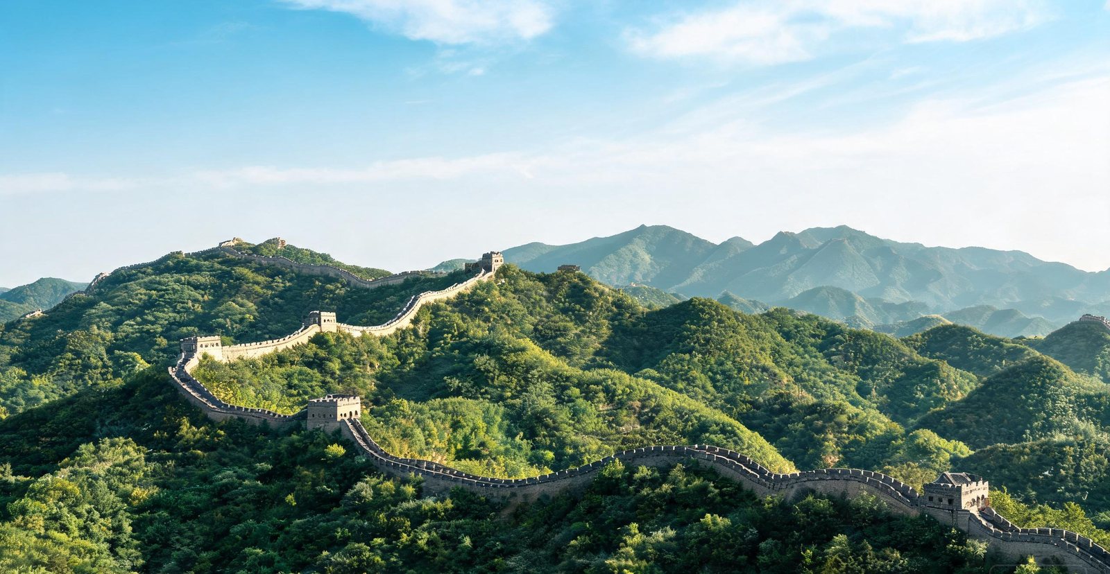
The Great Wall rolling over forested ridges at Mutianyu
#1 — Beijing & the Great Wall
A Wall Built by Emperors, Not Made for Walking
What survives is mostly Ming work: 8,850 km of it, raised between 1368 and 1644 to stop Mongol cavalry, not to be walked. Badaling and Mutianyu are two segments of the same system, an hour apart by road, and both are brick-faced ramparts with beacon towers spaced a bowshot apart. The difference that matters is not which is busier but the structure underfoot — a wall that follows the ridge so that each tower can signal the next.
Why does the wall zigzag? A straight line would have cost less and defended nothing. Each turn keeps the next tower in sight.
Ten to thirty men held each tower, with arrows, grain and gunpowder. These were barracks, not ornaments.
Behind a 3.4 km moat stand 980 buildings, arranged so no commoner could see past the first gate. The Hall of Supreme Harmony rises on a three-tier terrace because height, not size, signalled rank.
Round above and square below, the hall puts heaven over earth: the whole imperial cosmology in a single plan.
Courtyard houses were built around a shared well, which is why the old lanes bend wherever the water once ran.
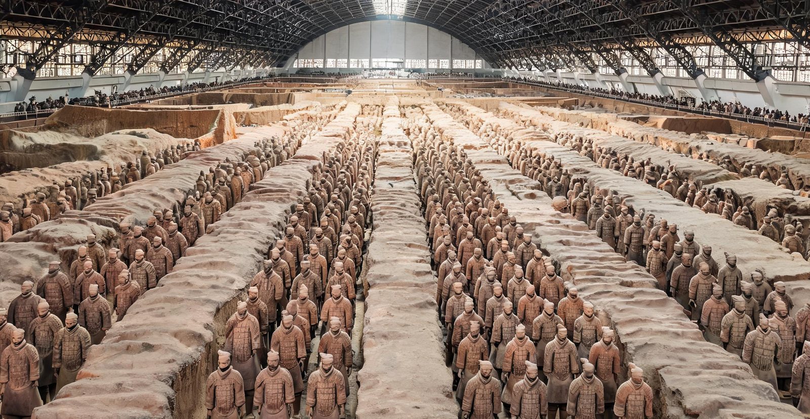
Read the full page →Terracotta warriors standing in ranks inside the excavation hall
#2 — Xi'an
Terracotta Warriors and the Start of the Silk Road
The 8,000 figures are not a monument but a garrison drawn up for an emperor who died in 210 BC: infantry in the front corridors, cavalry and chariots behind, all facing east toward the states he had conquered. Every face is different because heads were modelled separately and bodies assembled from interchangeable parts — a production line two thousand years before the phrase existed. Xi'an was Chang'an, the eastern end of the Silk Road and, under the Tang, the largest city on earth.
Why are the pits open to the sky? The army was never meant to be seen. It lay beneath a timber hall that burned when the tomb was looted.
The blades came out of the pits still bright. Their chromium oxide coating went unexplained until the 20th century.
Fourteen kilometres of Ming brick sit on a Tang foundation, and its 98 ramparts were spaced for crossbow arcs, not for the view.
The Great Mosque here is a Chinese courtyard in form: the minaret hides inside a pavilion, and the calligraphy is carved in Chinese, not Arabic.
One of the five sacred Taoist peaks, Huashan has been climbed for a thousand years along a single plank path bolted to the cliff.
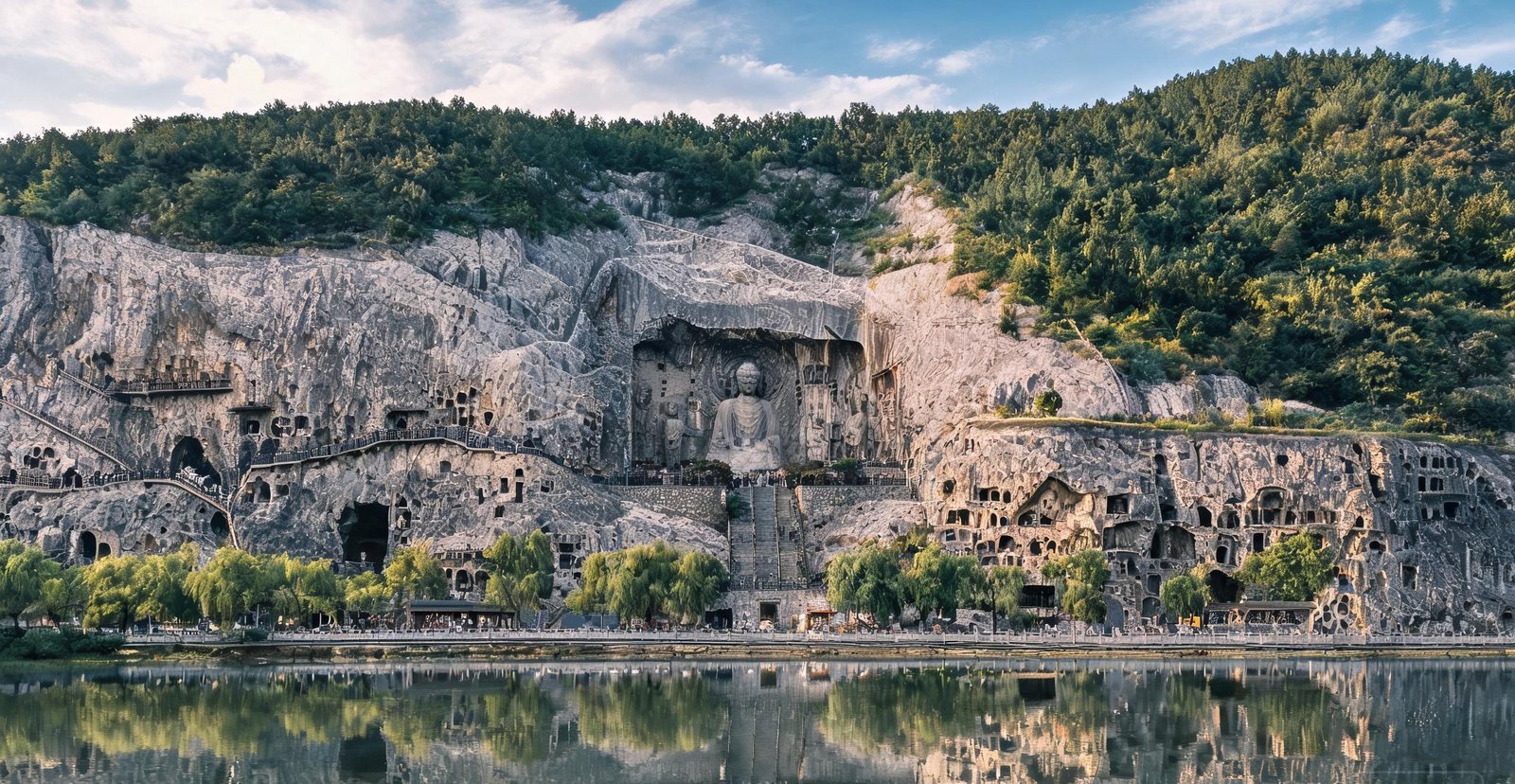
Capital to thirteen dynasties over 1,500 years, Luoyang is where Buddhism first took root in China — the White Horse Temple, founded in 68 AD, is the country's oldest. Nearby, the Longmen Grottoes hold more than 100,000 Buddhist carvings cut into the limestone cliffs.
At dawn and again at dusk, low light picks out reliefs on the two limestone cliffs that flat noon light erases. The carving went on for centuries.
Tree peonies open in mid-April, and Luoyang has grown them since the Tang. The flowers, not the festival, are the reason.
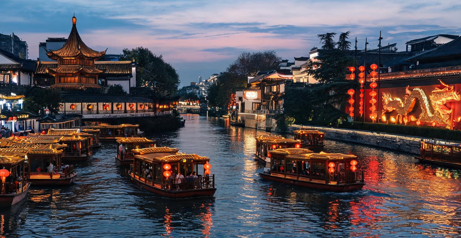
Capital to six dynasties and later to the Republic of China, Nanjing wears its history in layers — Ming city walls, the mausoleum of Sun Yat-sen on Purple Mountain, and the lantern-lit Qinhuai River quarter.
In this tomb lies the first Ming emperor, and UNESCO lists the site as World Heritage.
Boats once carried scholars and singers along this canal of the old examination quarter, past the Confucius Temple.
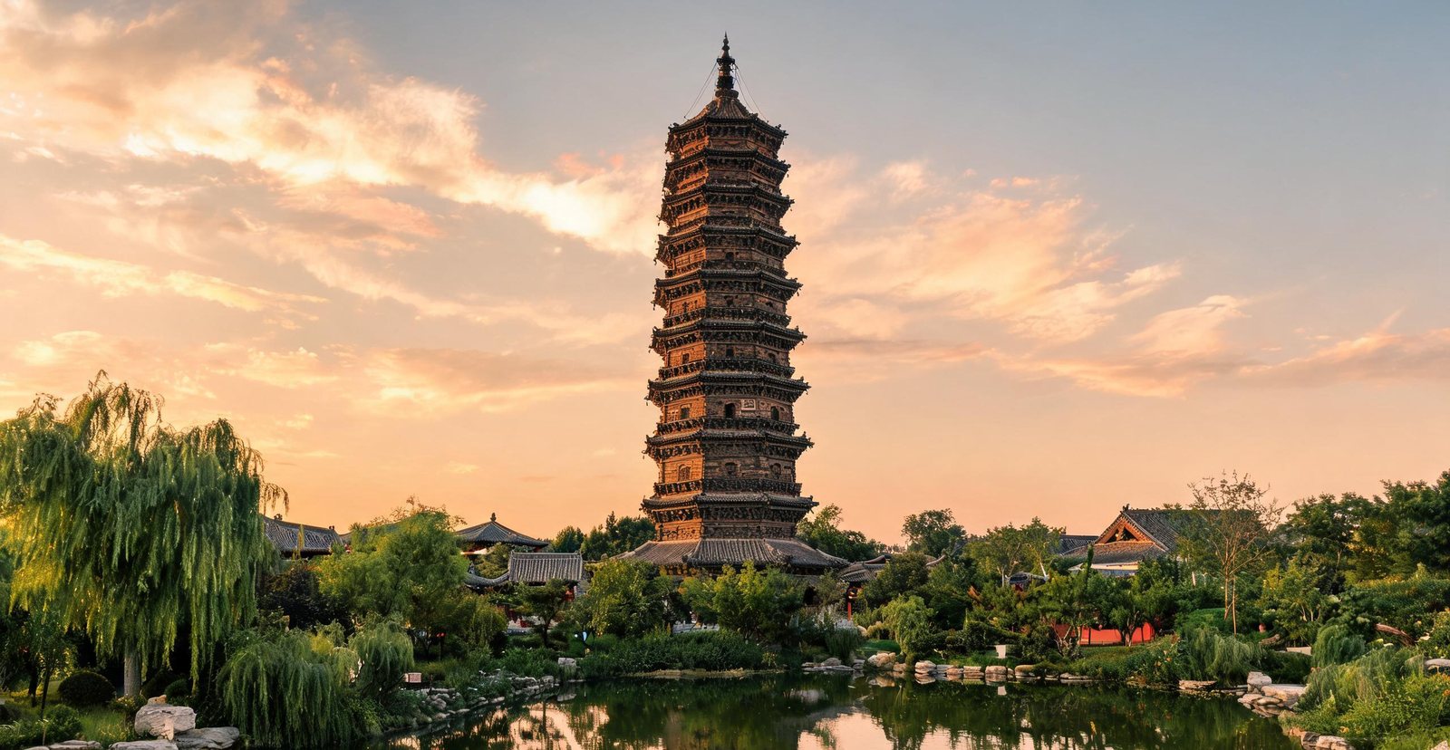
A thousand years ago Kaifeng was the largest city on earth, capital of the Northern Song. Its Song-dynasty spirit survives in the Iron Pagoda, the old city wall, and the recreated Riverside Scene park.
Thirty floods have come and gone, and the 55-metre glazed-brick tower still stands.
The city's political rank faded; its food trade did not. Soup dumplings and peanut cakes are still sold in the evening.
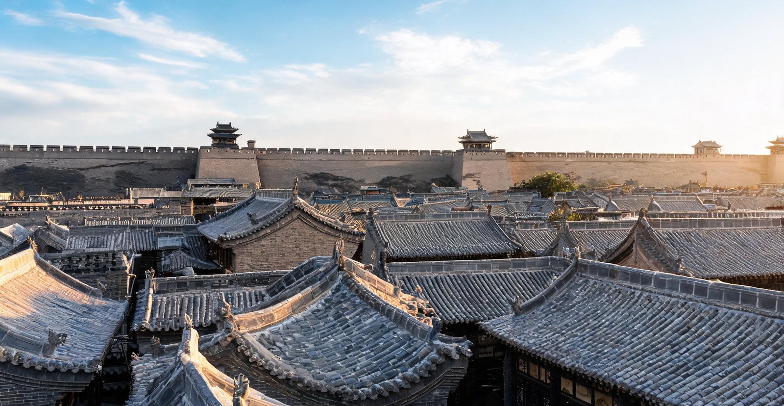
The only intact Ming-and-Qing walled city in China, Pingyao grew rich as the birthplace of Chinese banking — its old draft banks once moved silver across the whole empire.
Built in 1370, the wall runs 6.4 km of brick-faced rammed earth, with 72 watchtowers and gates tucked inside barbicans. It enclosed a county seat, not a capital.
Rishengchang opened in 1823 and paid out silver in another city against a piece of paper. No metal moved. The cipher and the courier did the work.
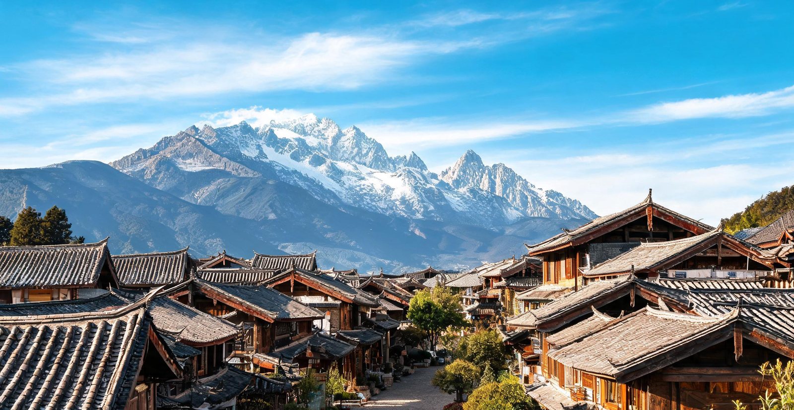
Lijiang was built by Naxi traders on the tea-horse road, which is why its lanes follow water instead of a grid: the town grew around three springs that still run through it. The Dongba writing on its walls is the last living pictographic script, kept by priests rather than used day to day. Above the town, Jade Dragon Snow Mountain rises to 5,596 m and feeds the glaciers that water the plain.
Roughly 1,400 glyphs survive, and they recorded ritual rather than trade. Priests, not shopkeepers, kept the script alive.
For 22 generations a chieftain family ruled from this mansion under Chinese emperors, and a Confucian academy stood inside its courtyard.
The town shares one stream instead of fighting over it, because channels open and close street by street at fixed hours.
Thirteen peaks rise nearly 3,000 m above the valley floor, and the southernmost glacier in China sits among them.
Here the Yangtze cuts a ravine 3,900 m deep, one of the deepest on earth.
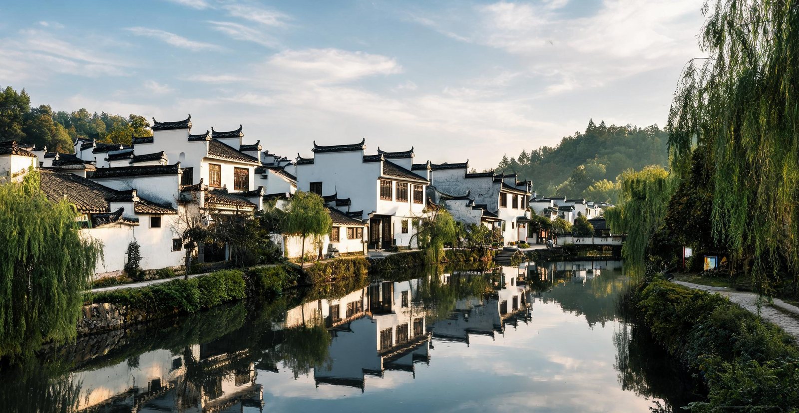
The old seat of Huizhou prefecture, Shexian is the place to see Hui-style architecture — whitewashed walls, black-tile roofs and horse-head gables — plus the memorial archways of Tangyue.
Seven stone arches went up to record one merchant family's charity and fidelity. They advertise virtue, not property.
This memorial arch for a Ming official is carved so that stone imitates timber brackets, the skill that made Huizhou masons sought after.
One of China's four best-preserved ancient cities, Langzhong was laid out by feng shui rules on a bend of the Jialing River — and is still watched over by a temple to the warrior Zhang Fei.
From above, the feng shui grid reads as a pattern; from the street, this is simply the tallest tower in the old town.
Zhang Fei was posted to hold Langzhong and died at his post; the town honours him here and keeps his tomb for that reason.
Riverside houses and stone bridges at Zhenyuan, Guizhou
#10 — Zhenyuan
Zhenyuan: A Riverside Town in a Mountain Bend
Tucked into an S-bend of the Wuyang River and ringed by green hills, Zhenyuan mixes Ming lanes, old wharves and the cliff-clinging Qinglong Cave temple complex.
With no flat ground to build on, temple halls wedge into the cliff and stand on stilts above the river.
The town fills both banks of the S-bend, so the river still works as its main street.
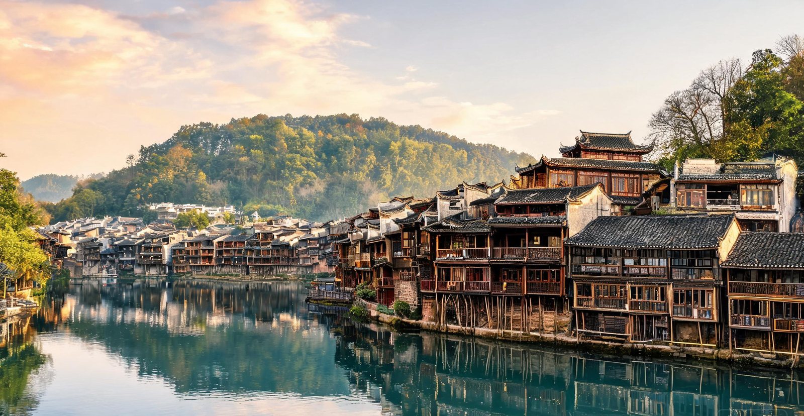
Stilt houses lining the Tuo River at Fenghuang old town
#11 — Fenghuang
Fenghuang: Stilt Houses on the Tuo River
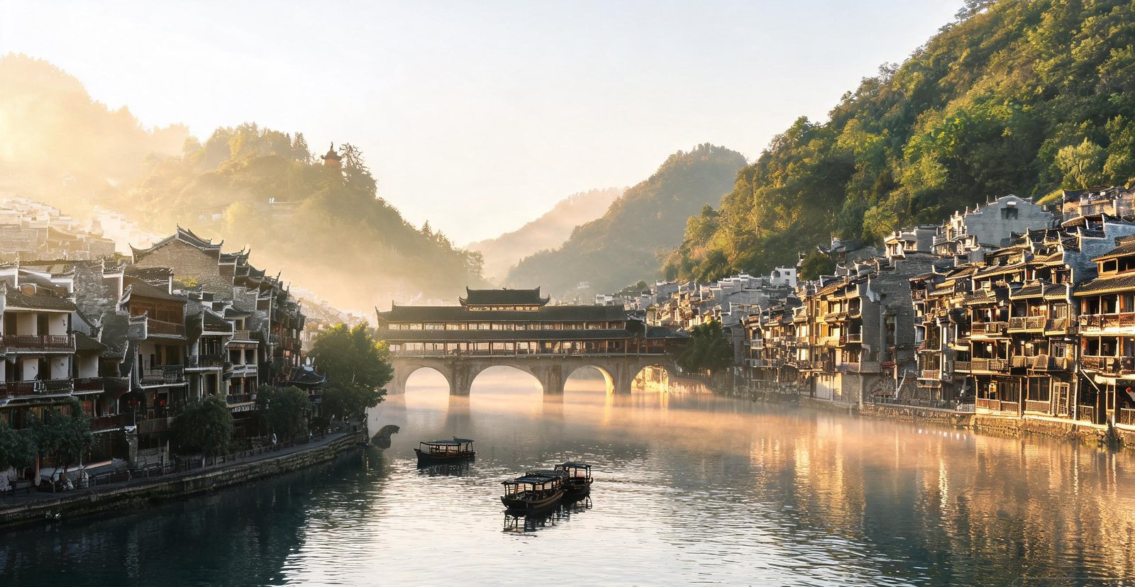
Tiered wooden stilt houses lean over the green Tuo River, and the Miao and Tujia villages around Fenghuang keep embroidery, silverwork and drum songs alive.
On stone piers sits a covered bridge that doubles as a market and as the crossing between the two banks of the Tuo.
Miao and Tujia dowries were measured in silver, which is why working smiths still keep shop on the old street.
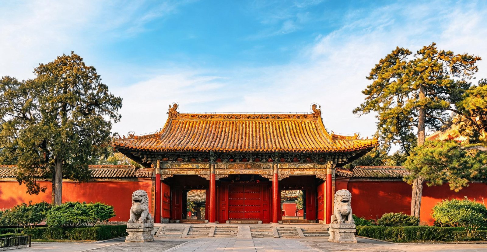
The Dacheng Hall of the Temple of Confucius in Qufu
#12 — Qufu
Qufu: Confucius's Hometown
The birthplace of Confucius, Qufu holds the 'Three Confucian Sites' — the Temple, the Mansion and the Forest — a UNESCO complex that has drawn pilgrims for 2,500 years.
After a lightning fire in 1724, the hall was rebuilt in the Yongzheng reign. Its rank comes from the deep terrace and double eaves, not the floor area.
Two square kilometres and more than 100,000 graves make this less a burial ground than a forest with monuments in it.
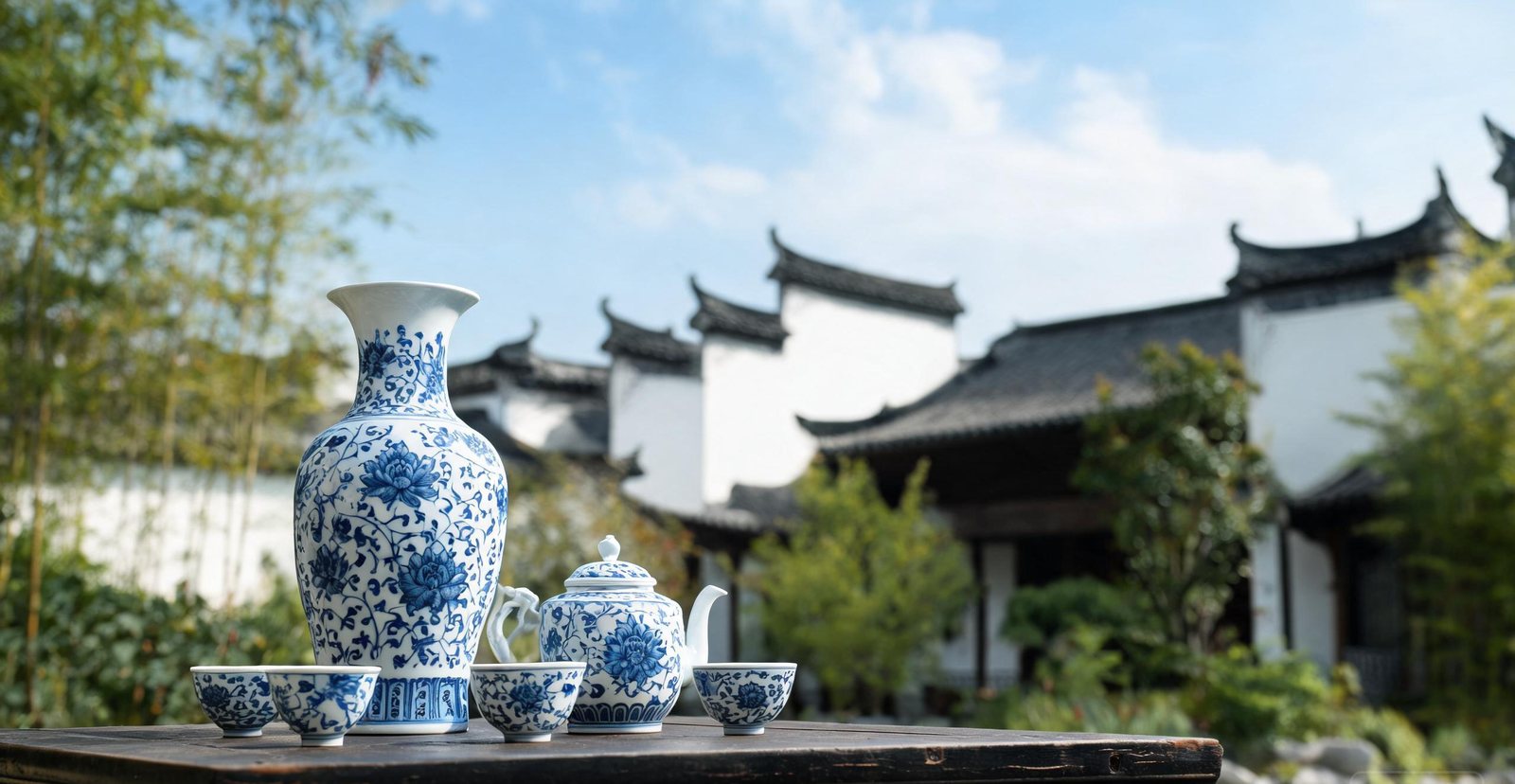
For 1,700 years Jingdezhen has fired the porcelain the world simply calls 'china'. Whole neighbourhoods are still kilns, studios and markets, and throwing a pot remains a trade learned by hand.
Rejects from the Imperial Kiln were smashed and buried on site so seconds could not leave, and the ruins are that record.
Which porcelain quarter teaches a craft in order to keep it alive? Taoxichuan, a former state factory turned studio quarter, where underglaze painting is still taught.
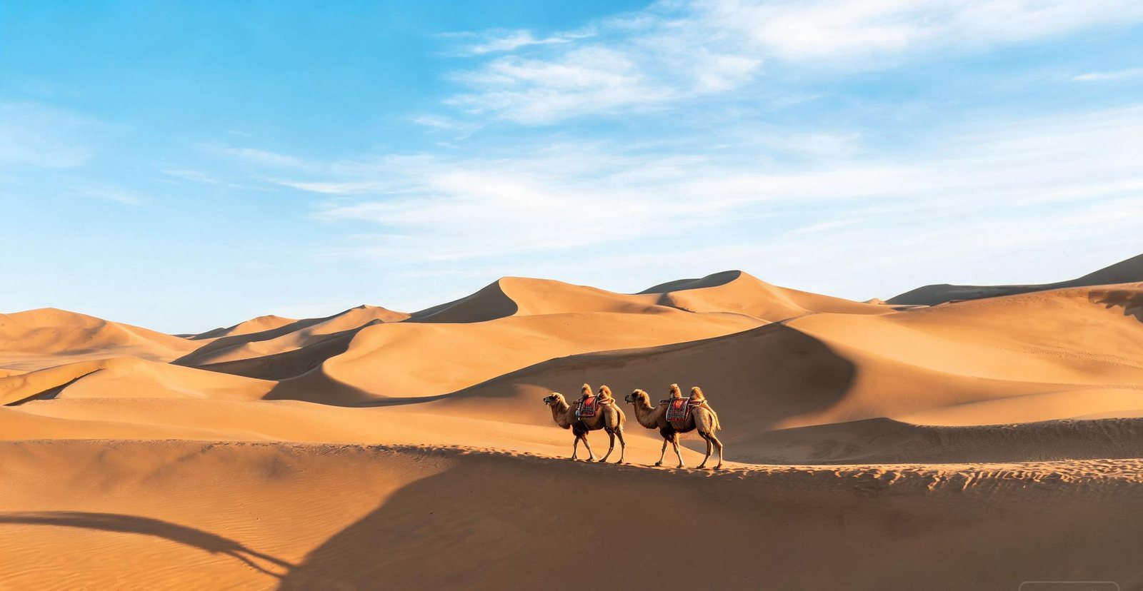
A camel caravan crossing the Mingsha dunes near Dunhuang
#14 — Dunhuang
Dunhuang: Oasis of the Silk Road
Where the Silk Road met the desert, Dunhuang's Mogao Caves hold 492 painted grottoes spanning a thousand years of Buddhist art — with the singing dunes and Crescent Lake just next door.
492 of the 735 carved Mogao Caves hold painted chambers, and together they span a thousand years. The air inside is regulated because breath, not weather, damages the pigment.
Walk a steep face of the Mingsha dunes and dry sand starts to avalanche, producing the low hum the name refers to. Why it happens is still argued over rather than settled.
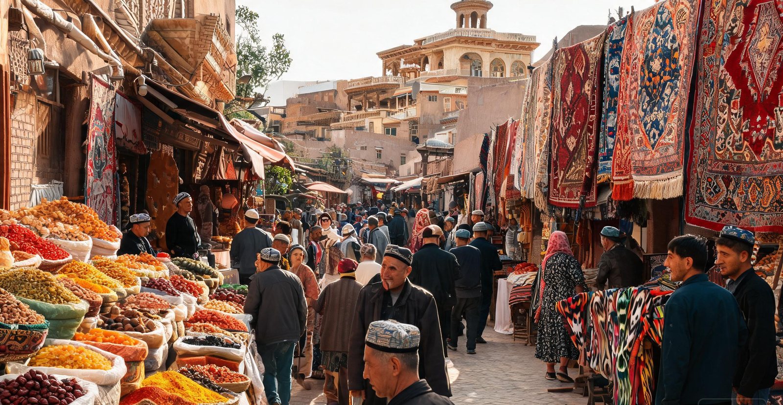
China's westernmost city and the Silk Road's great crossroads, Kashgar is Uyghur country — tea houses, domed bazaars, pilgrimage tombs and a sprawling Sunday livestock market.
From the Id Kah Mosque, lanes of the Old Town radiate outward. This is a living Uyghur quarter, not a rebuilt set.
Bargaining here is the pricing system, not a performance. At the Grand Bazaar, spices, carpets and livestock change hands much as they did on the caravan route.
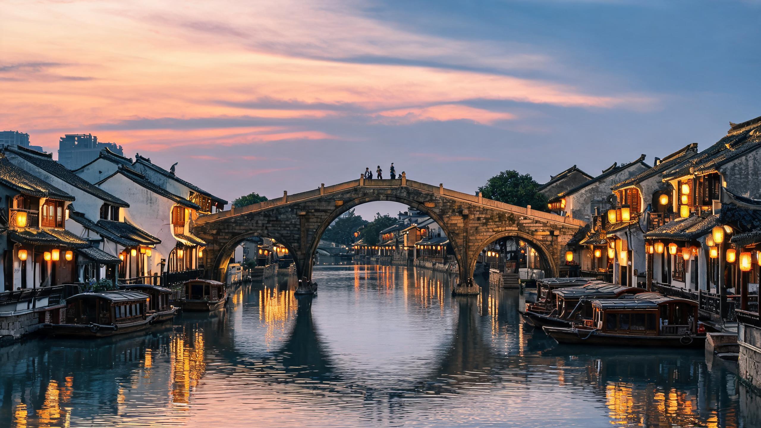
Read the full page →The Grand Canal and its old arched bridge in Hangzhou at dusk
#16 — Hangzhou
Hangzhou: Capital of the Southern Song
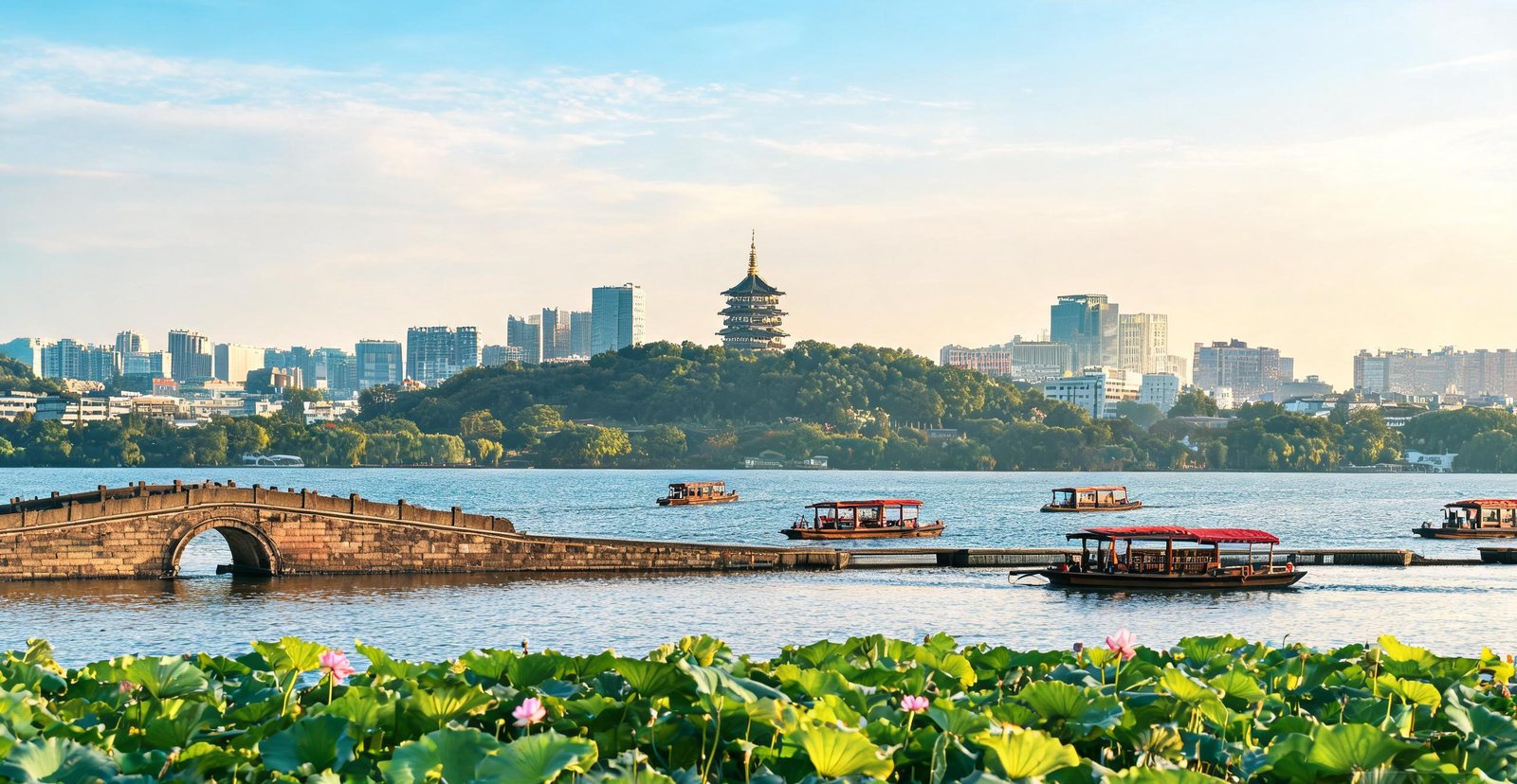
Hangzhou was the seat of the Southern Song dynasty from 1138 to 1276 and, for a time, the largest city on earth — Marco Polo marvelled at it. Its West Lake has been landscaped by poets and emperors for a thousand years, the Grand Canal still carries barges through the middle of town, and the Liangzhu ruins on the northern edge push the story back 5,000 years to a Neolithic jade civilisation.
What did the Song court make famous? The causeways, pagodas and gardens of West Lake.
The city still lives with a 1,400-year-old waterway, the Grand Canal, running straight through it.
Before any dynasty existed, Liangzhu was already a Neolithic jade city of earthen walls and altars. Its workshops show how sophisticated the craft had become.
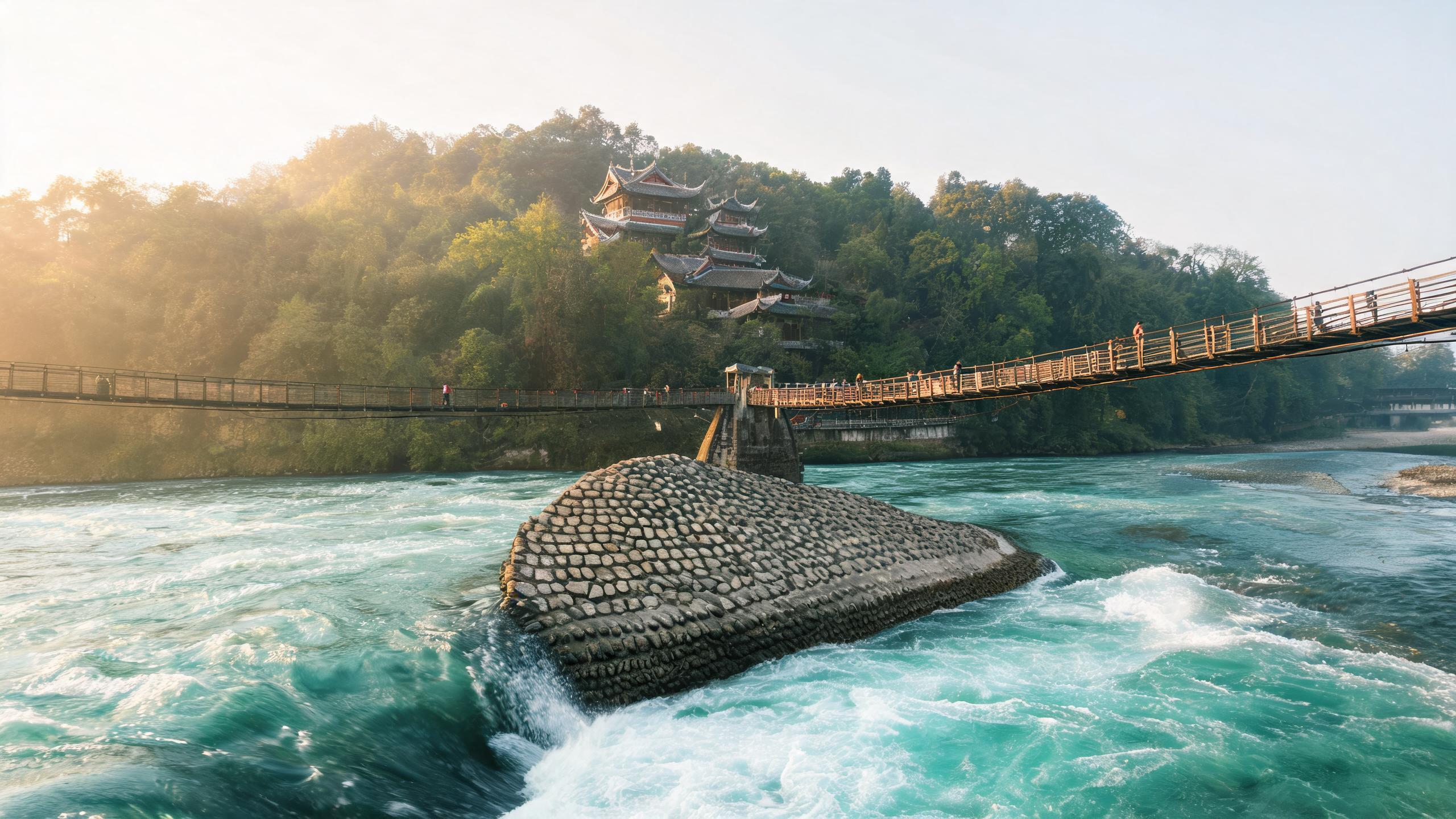
Chengdu has been a capital for more than two thousand years and the heart of the Shu world of Sichuan. The Dujiangyan works, engineered in 256 BC, still irrigate the plain today. Gold masks and bronze trees from the Jinsha ruins and nearby Sanxingdui belong to a culture that vanished three millennia ago, and the Wuhou Shrine keeps the memory of the Three Kingdoms chancellor Zhuge Liang.
An irrigation system built in 256 BC is still in use: that is Dujiangyan.
What survives of the lost Shu kingdom? Bronze masks and gold at Sanxingdui and Jinsha.
Zhuge Liang's reputation rests as much on a later novel as on the histories, yet the Three Kingdoms chancellor is remembered at Wuhou Shrine.
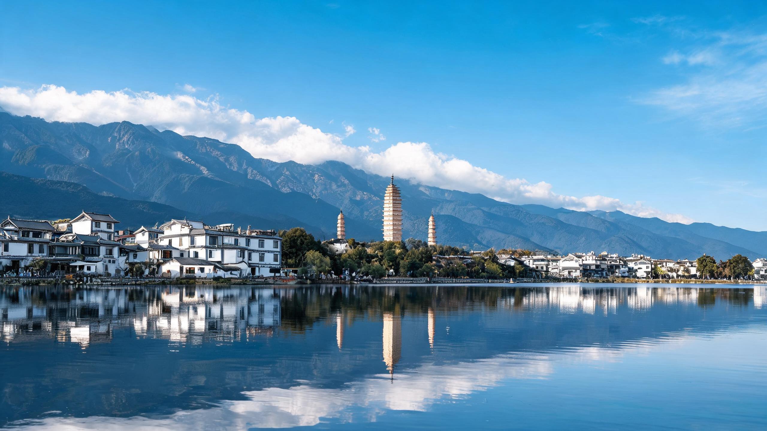
Dali was the capital of the Nanzhao kingdom and then of the Dali Kingdom, which ruled Yunnan for more than five centuries before the Mongols arrived. The old town still keeps its grid of whitewashed courtyards in the gap between the Cangshan mountain range and Erhai Lake — a setting the Bai people describe as wind, flowers, snow and moonlight.
Set between Cangshan and Erhai, Dali faces the mountain-and-lake frame it was built for.
Three towers from the 9th century, the Three Pagodas are what remains of the Nanzhao kingdom.
The old town is a walled grid set between mountain and lake. On the shore, Bai villages still keep the courtyard form it was built from.
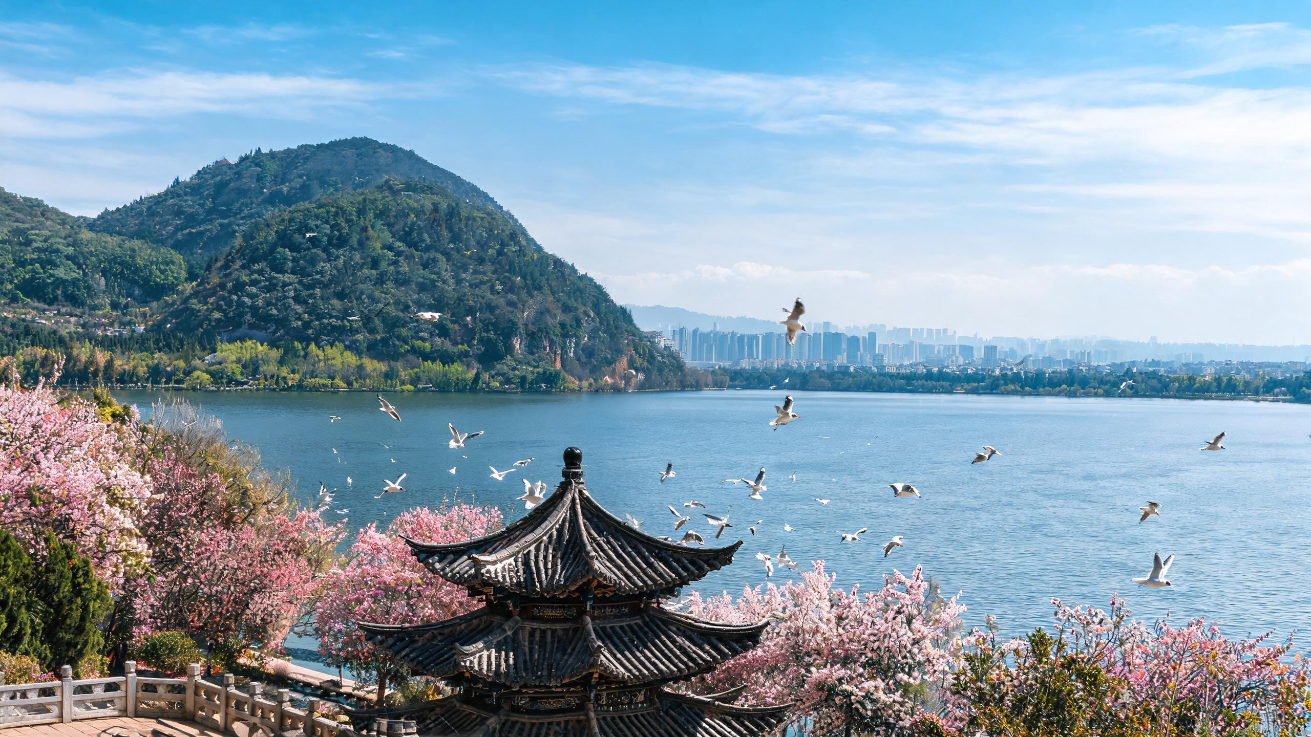
The Grand View Pavilion above Dianchi Lake in Kunming
#19 — Kunming
Kunming: The Ancient Dian Kingdom
Kunming grew up on the shore of Dianchi Lake, where the Dian kingdom buried its bronze-drum kings more than two thousand years ago. Ever since it has been the gateway to Yunnan — the springboard for the southern Silk Road, the tea-and-horse caravans and the wartime supply routes — and it keeps its "city of eternal spring" climate all year round.
What shaped Kunming is Dianchi Lake and the Western Hills, the water and ridge that define the city.
In the middle of town stands Yuantong Temple, a Buddhist complex 1,200 years old.
Bronze drums, cowrie-shell containers and weapons come from Dian tombs, and many are cast with scenes of the kingdom's own rituals.
The Yuelu Academy at the foot of Yuelu Mountain in Changsha
#20 — Changsha
Changsha: A Chu and Han City
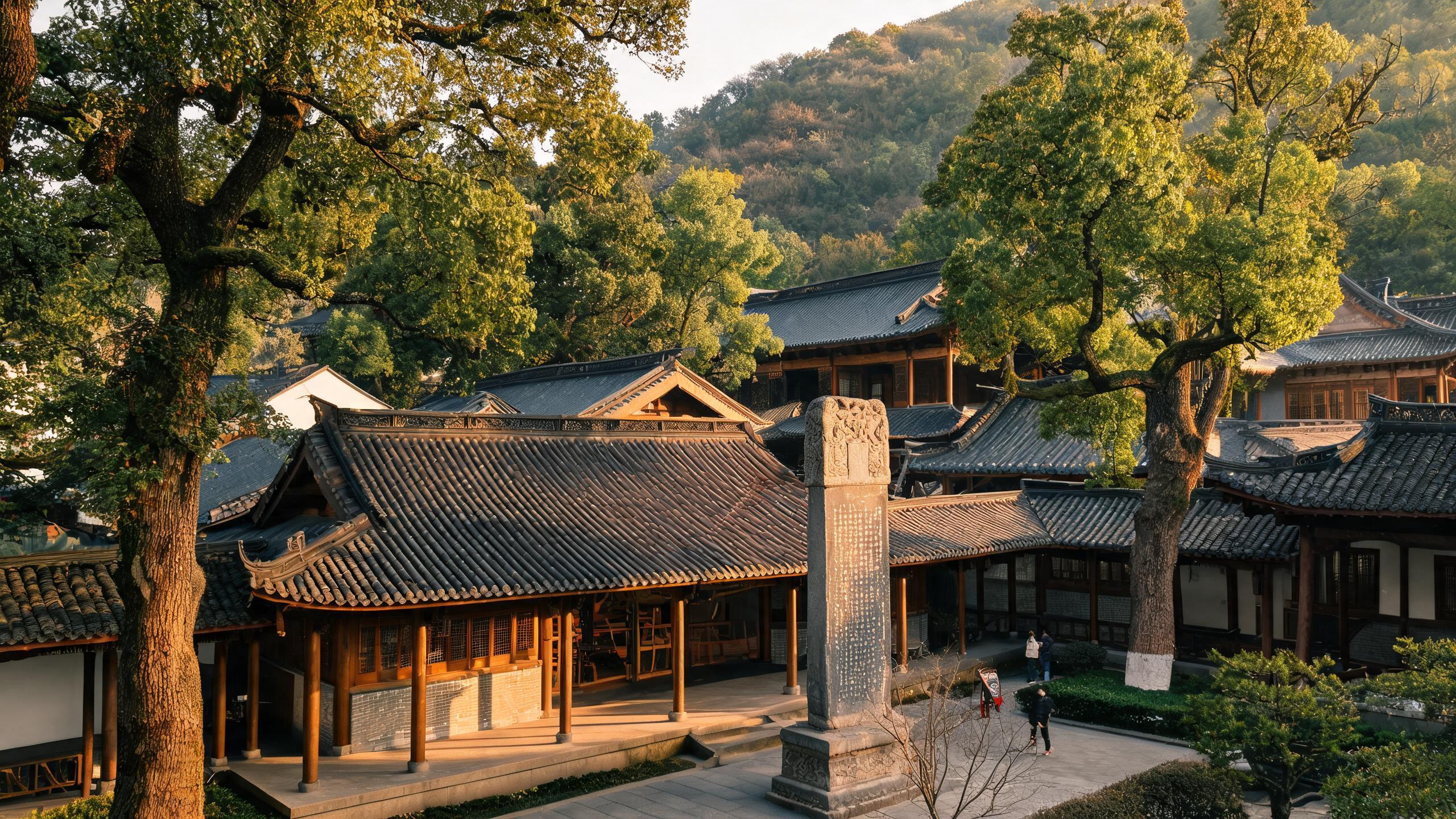
Changsha was a Chu stronghold and later a Han-era capital, and the 2,000-year-old tomb of Lady Dai at Mawangdui — with its silk paintings, lacquerware and remarkably preserved body — is one of China's great archaeological finds. Nearby, the Yuelu Academy has been teaching without a break since 976 AD.
Who was buried with silk and lacquerware at Mawangdui? Lady Dai, in her Han tomb.
Since 976 AD, Yuelu Academy has taught students as a Confucian college.
Why were the academy and the city's lookouts built on the slope? Yuelu Mountain is a wooded ridge on the west bank, and its height explains it.
The crenellated wall and gate tower of ancient Jingzhou
#21 — Jingzhou
Jingzhou: Heartland of Chu and the Three Kingdoms
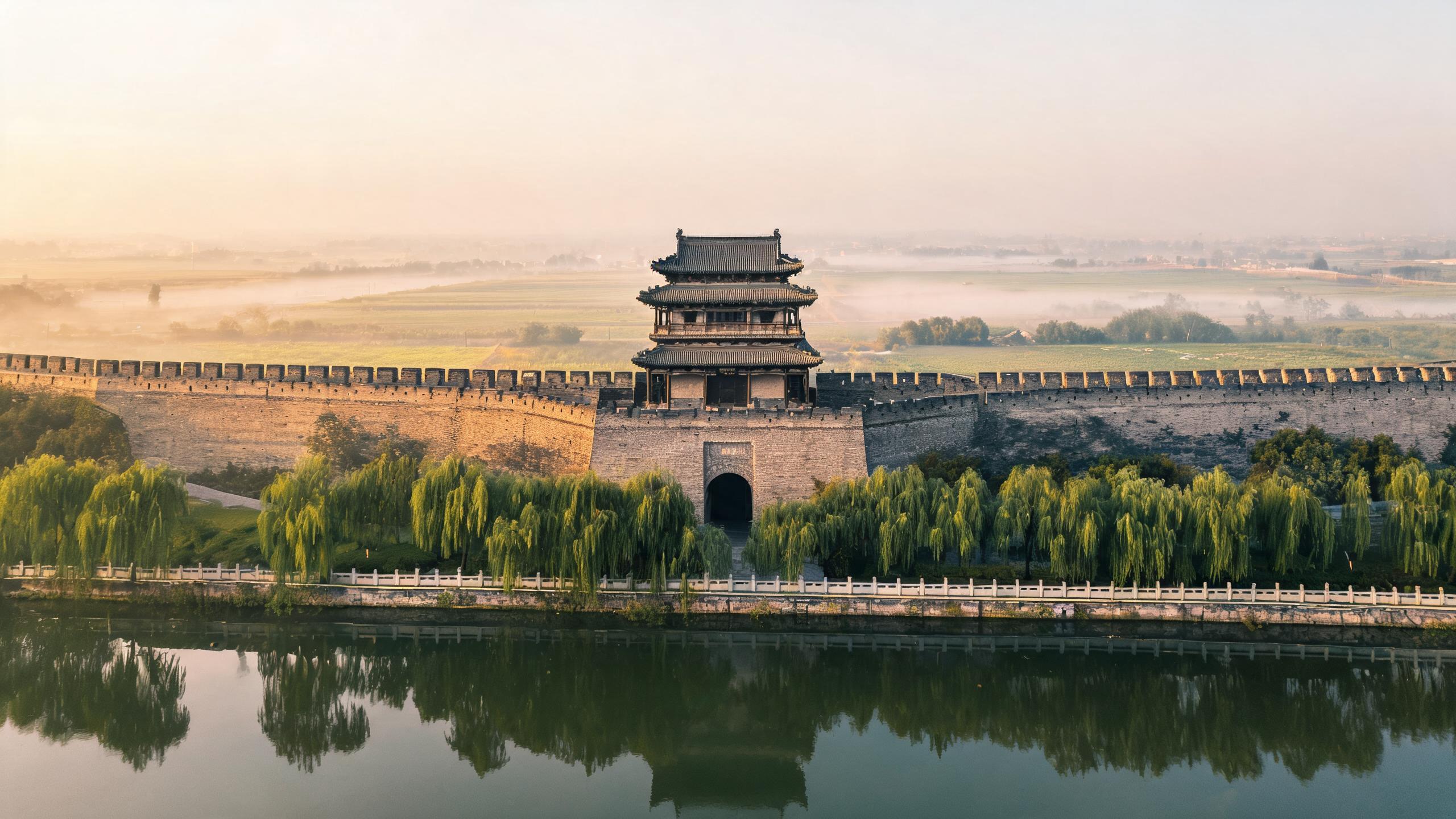
Jingzhou was the capital of the Chu state for four centuries and the prize everyone fought over in the Three Kingdoms epic. Its complete Ming-era wall, threaded with gates and towers, survives almost intact — the best-preserved ancient city wall in southern China.
A nine-kilometre rampart of the Ming city wall still rings the old town.
At the Jingzhou Museum you can see Chu silk and lacquerware, and Han dynasty corpses as well.
The temple marks the post Guan Yu lost after holding Jingzhou in the Three Kingdoms narrative.
The old ramparts of Xiangyang looking out over the Han River
#22 — Xiangyang
Xiangyang: Fortress on the Han River
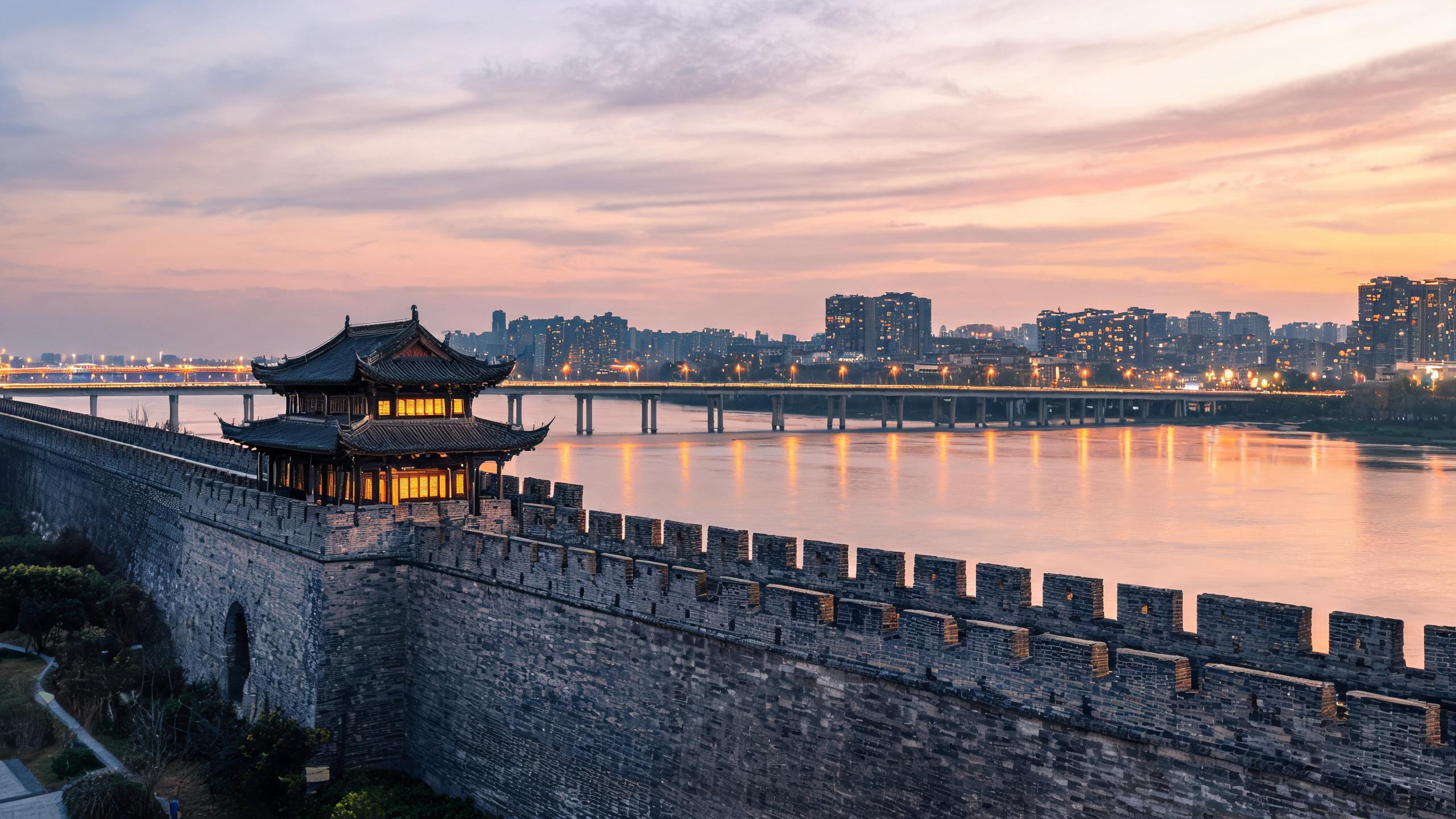
Xiangyang has guarded the Han River crossing for more than two thousand years, and its wall was long counted the strongest in China — the Mongols took six years to break it, one of the longest sieges in Chinese history. Today the old ramparts look straight across the water at Fancheng, the twin town they were built to protect.
Look out from the battlements of the ancient city wall and the Han River spreads below.
Across the water lies Fancheng, the twin town now joined by modern bridges.
The Three Kingdoms narrative starts from a visit to Ancient Longzhong, the retreat where Zhuge Liang was recruited before he joined the Shu cause.
A canal, stone bridge and awning boats in Shaoxing's old town
#23 — Shaoxing
Shaoxing: The City of Calligraphy and Lu Xun
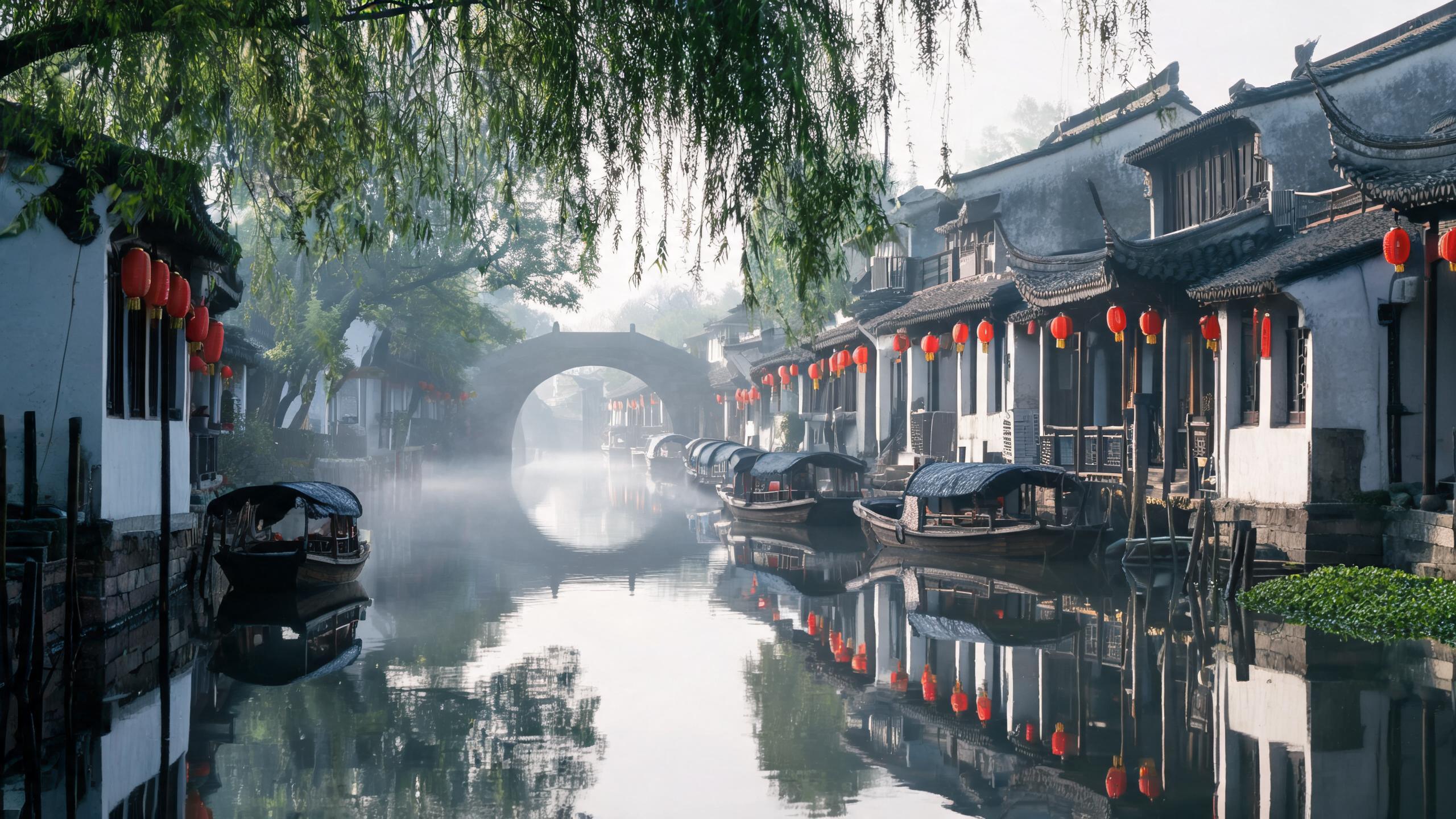
Shaoxing was the capital of the Yue kingdom 2,500 years ago and has been a water town ever since — canals, arched bridges and black-awning boats instead of wide avenues. It is also China's scholar city: Wang Xizhi wrote the Orchid Pavilion Preface here in 353 AD, and Lu Xun, the father of modern Chinese literature, grew up in its lanes.
Where was China's most famous calligraphy written? In a garden called Lanting, the Orchid Pavilion.
Wander the lanes of the old town and you reach Lu Xun's former residence.
The hulls of black-awning boats sit low enough to pass under the stone bridges, which is why the canal network still works as a road.
Eleven cities that build, sell and ship the future — skyscrapers, chips, high-speed rail, drones and digital cash.
Tap a marker on the map — then swipe left or right, or use the arrows, to browse the cities.
The Beijing CBD skyline glowing at blue hour
#1 — Beijing
Beijing: Power, Dust and Three Thousand Years
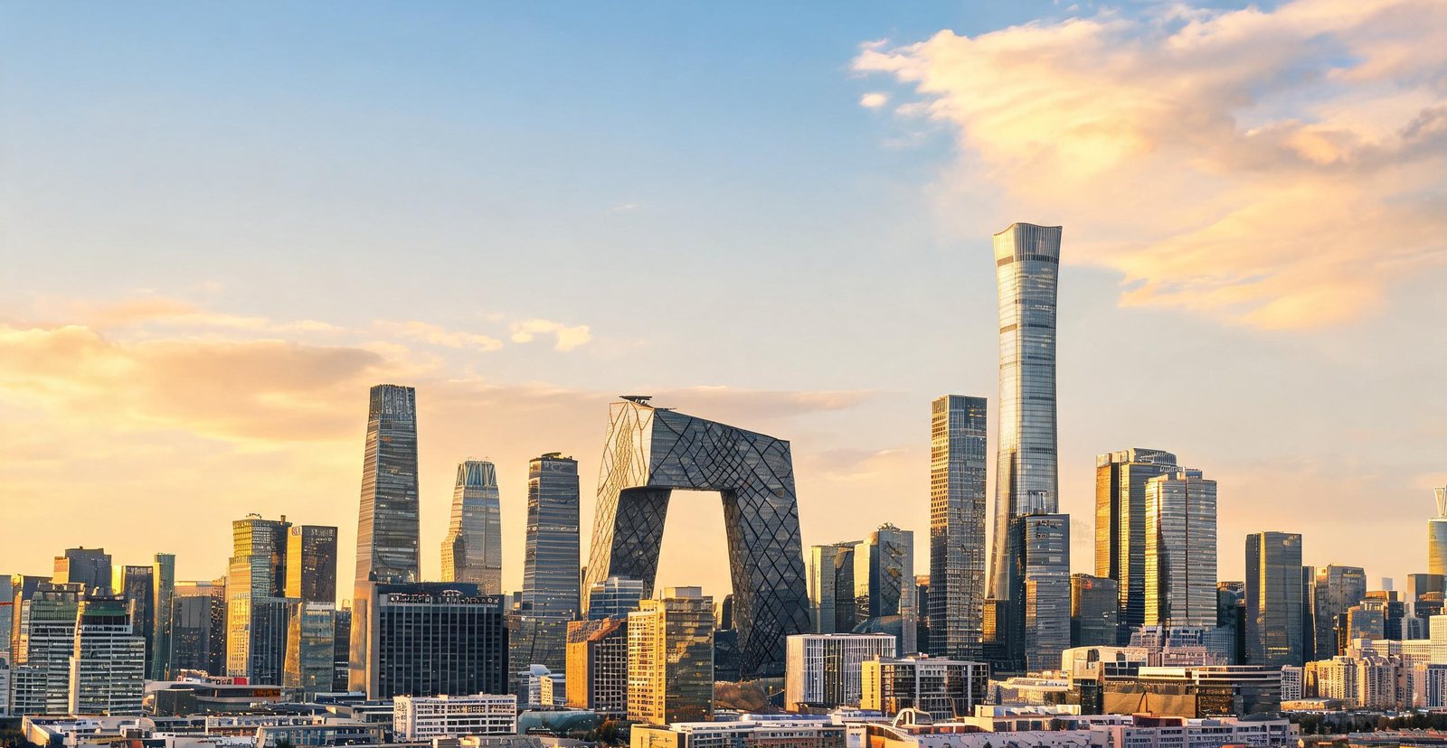
Dynastic capital for eight centuries, Beijing now runs the world's second-largest economy — its hutongs and imperial axis sit inside a ring-road megacity of twenty-two million.
Around CBD and Guomao, the skyline anchors China's finance and state media.
Zhongguancun, the 'Silicon Valley of China', sits beside Tsinghua and Peking University.
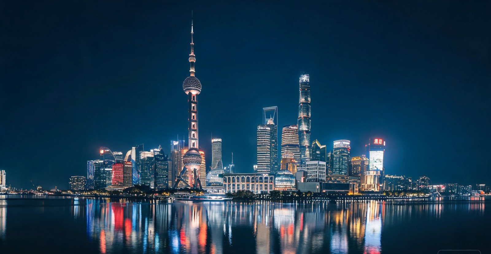
The Lujiazui skyline on the Huangpu River in Shanghai
#2 — Shanghai
Where East Meets West, Then Built a Skyline
The Bund faces the Pudong skyline across the Huangpu, which is why the riverfront carries the city's public image. Shanghai is not only towers: the old French Concession keeps its plane-tree avenues, the street-food alleys run behind the main roads, and Fuxing Park fills at dawn with tai chi.
Both banks light up after dark, and only the Huangpu River, the channel between the old Bund and Pudong, sees the whole skyline at once.
A Ming official's garden sits beside the old city bazaar: Yu Garden, and the teahouses around it serve the quarter that grew outside its wall.
Shanghai's own garden follows a model from elsewhere: Suzhou, the classical garden city to the west, whose scholar-gardens set the standard.
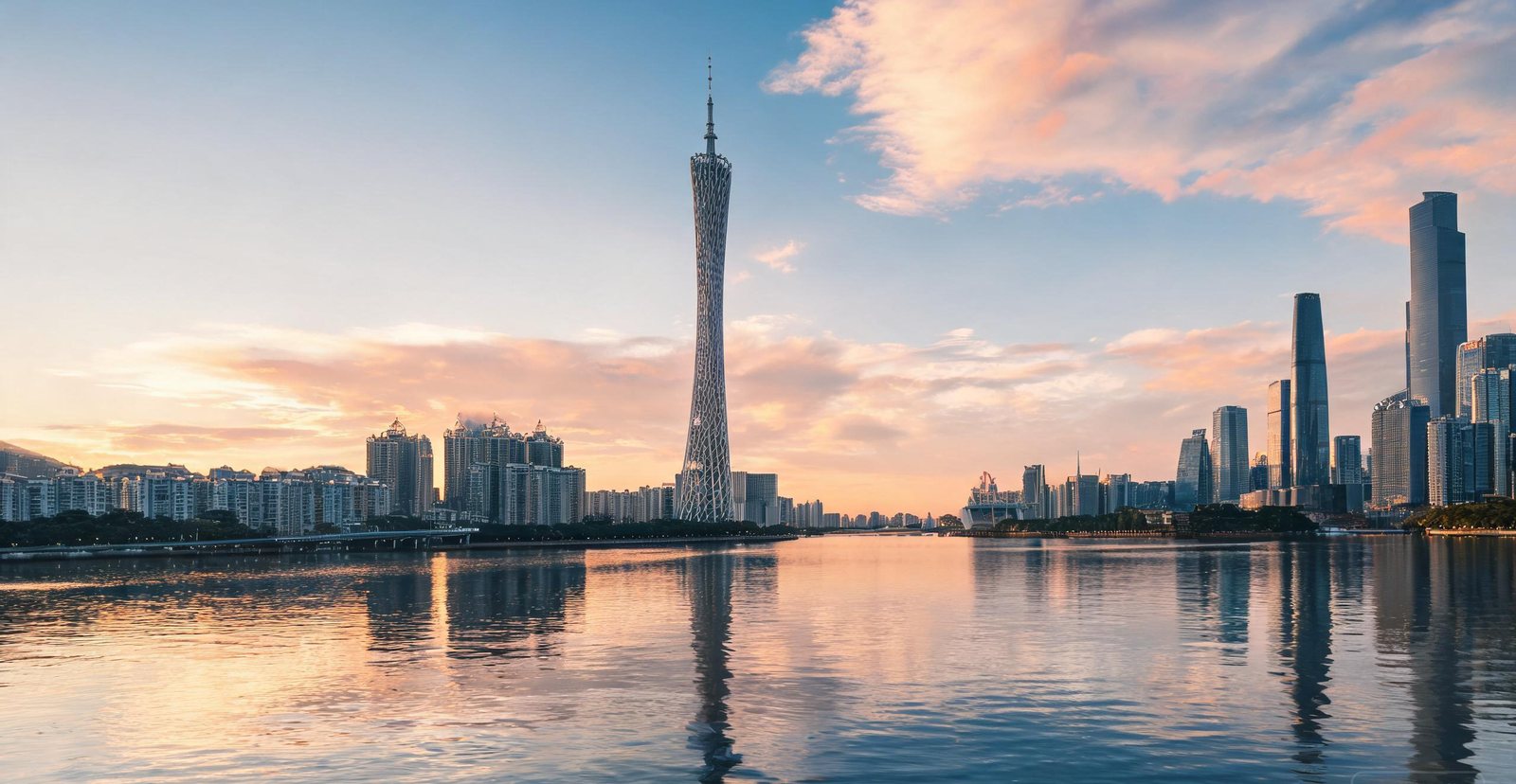
The Canton Tower above the Pearl River skyline at dusk
#3 — Guangzhou
Guangzhou: The Southern Gateway
China's original trading port, Guangzhou has been open to the world for two thousand years — and its Cantonese food, dim-sum mornings and Pearl River skyline are the reward.
Shamian Island began as a sandbank and was laid out as a foreign concession. Its arcaded verandas were built for shade and typhoon rain.
Morning tea in Liwan is a Cantonese institution, and it means dim sum: small plates, endless tea and tables shared with strangers.
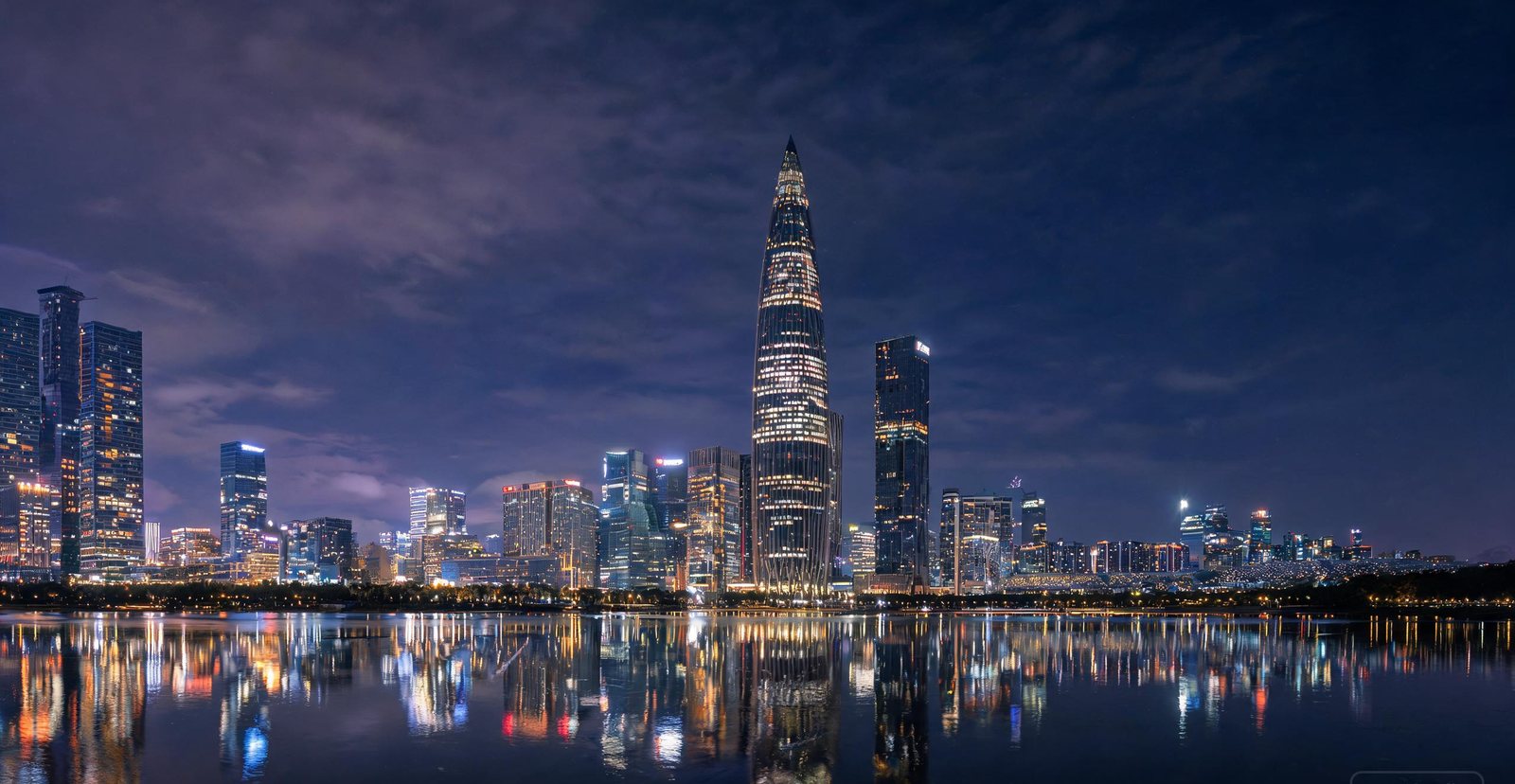
Shenzhen's Futian district skyline after dark
#4 — Shenzhen
Shenzhen: From Fishing Village to Tech Capital
Forty years ago Shenzhen was a fishing town of 30,000 people. Today it is a metropolis of over 17 million and the hardware capital of the world — home to Huawei, Tencent and DJI, and to Huaqiangbei, the electronics market that stocks components for nearly every device made.
Hardware start-ups prototype in Huaqiangbei because the market is a run of component stalls, not finished products.
From the far shore the lights read as one line, because Shenzhen's skyline faces water. Inside the streets you would never see it that way.
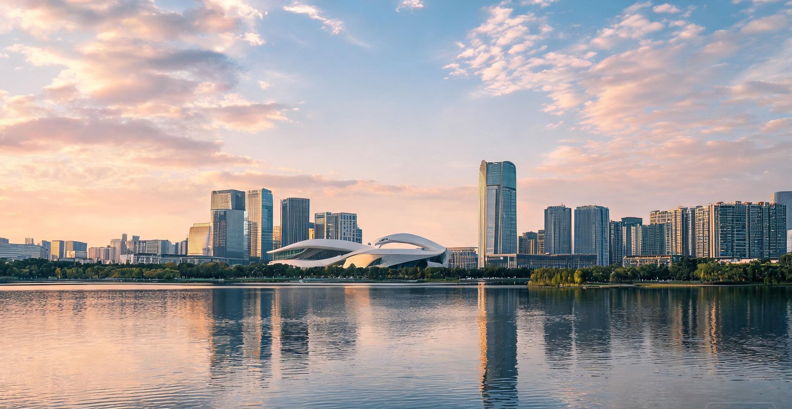
The lakeside towers of Hefei's Swan Lake district
#5 — Hefei
Hefei: The Quiet Science Capital
Once an unassuming provincial town, Hefei became one of China's fastest-rising science cities — home to a top technical university and a hub for quantum research and electric vehicles.
Hefei built its new CBD around an artificial lake, Swan Lake. The move is a common device for giving a skyline a reflecting surface.
One of China's largest freshwater lakes, Chaohu is shallow enough that its ecology depends on how the surrounding farmland drains.
West Lake and the Hangzhou skyline at golden hour
#6 — Hangzhou
Hangzhou: E-commerce Capital on a 1,000-Year-Old Lake
Headquarters of Alibaba and a showcase for China's cashless economy, Hangzhou still revolves around West Lake — a UNESCO cultural landscape praised by poets for a thousand years — a lagoon kept shallow by centuries of dredging, with every famous view composed from a specific point.
West Lake is a lagoon that would have silted up without dredging. In 1090 the spoil Su Shi removed became the causeway that still carries his name.
West of the lake, Longjing tea is grown and pan-fired by hand. The firing flattens the leaf and gives it the chestnut aroma.
Behind its UNESCO gardens, Suzhou is one of China's great industrial engines. The China–Singapore Suzhou Industrial Park turned farmland into a grid of semiconductor fabs, biotech labs and medical-device plants, while nearby Kunshan assembles much of the world's laptops. Add textile and precision-manufacturing clusters, and the city's industrial output ranks among the largest of any in China.
Suzhou Industrial Park began as the flagship China-Singapore project and is now a hub for chips and biomedicine.
Why is Kunshan called the world's laptop factory? It turns out a huge share of global notebook PCs.
Begun around 1513 by a retired official, the Humble Administrator's Garden covers only about five hectares. It works by framing and delay, not by size.
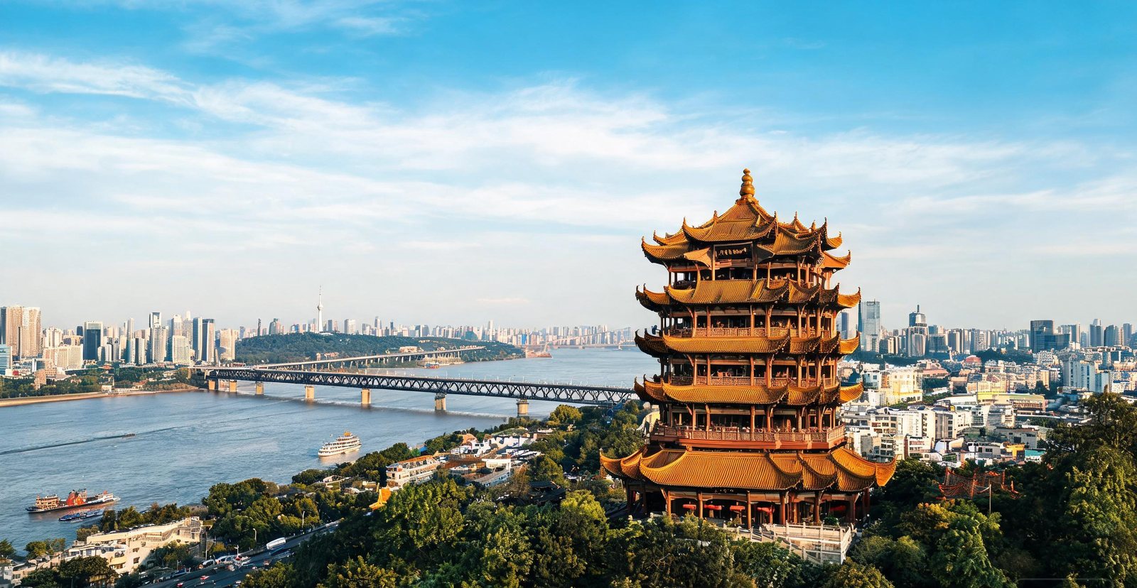
Wuhan is a river city, but its future runs through the Optics Valley — one of China's densest clusters of fibre optics, lasers, displays and memory chips. YMTC builds NAND flash here, FiberHome wires the nation's networks, and Wuhan Fingu supplies the radio-frequency filters inside countless 4G and 5G base stations. Add over a million university students, and the Yangtze crossroads is now as much a lab as a port.
Optics Valley, or Guanggu, is where Wuhan makes fibre optics, lasers and displays. It is also China's memory-chip base.
RF filters for 4G and 5G base stations are what Wuhan Fingu makes, and it is one of the leading makers.
Above the Yangtze, Yellow Crane Tower was rebuilt on its hill and survives as a viewpoint. Below, vendors sell hot dry noodles, the city's breakfast.
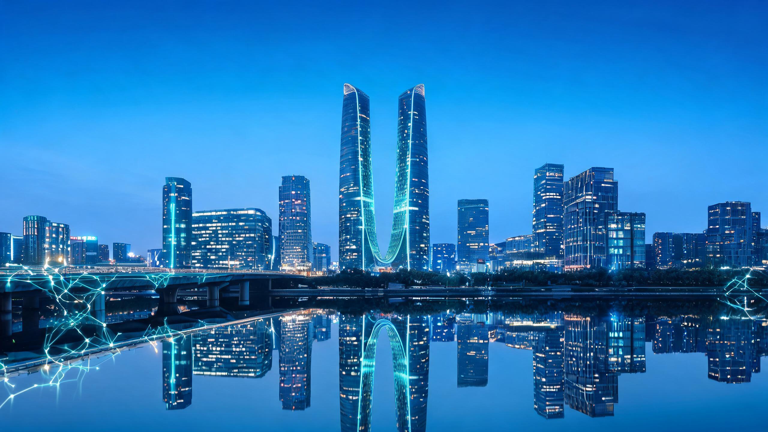
The Chengdu Tianfu New Area skyline and its twin towers at blue hour
#9 — Chengdu
Chengdu: Pandas, Chips and the Slow Life of Sichuan
Chengdu is famous for pandas, hotpot and teahouses, but it also builds much of China's electronics. Intel runs a major chip assembly-and-test plant here, BOE makes display panels nearby, and Tianfu Software Park hosts the studios behind some of the world's most-played mobile games. Pair that with a 2,200-year-old irrigation system and a citywide love of mahjong, and Sichuan blends high tech with a famously unhurried pace.
Where does Chengdu's software and gaming industry run from? Tianfu Software Park, its engine room.
Intel packages and tests chips in Chengdu, at one of its key global sites.
Because the wild population survives in fragmented bamboo forest rather than open range, the panda reserves are built around captive breeding.
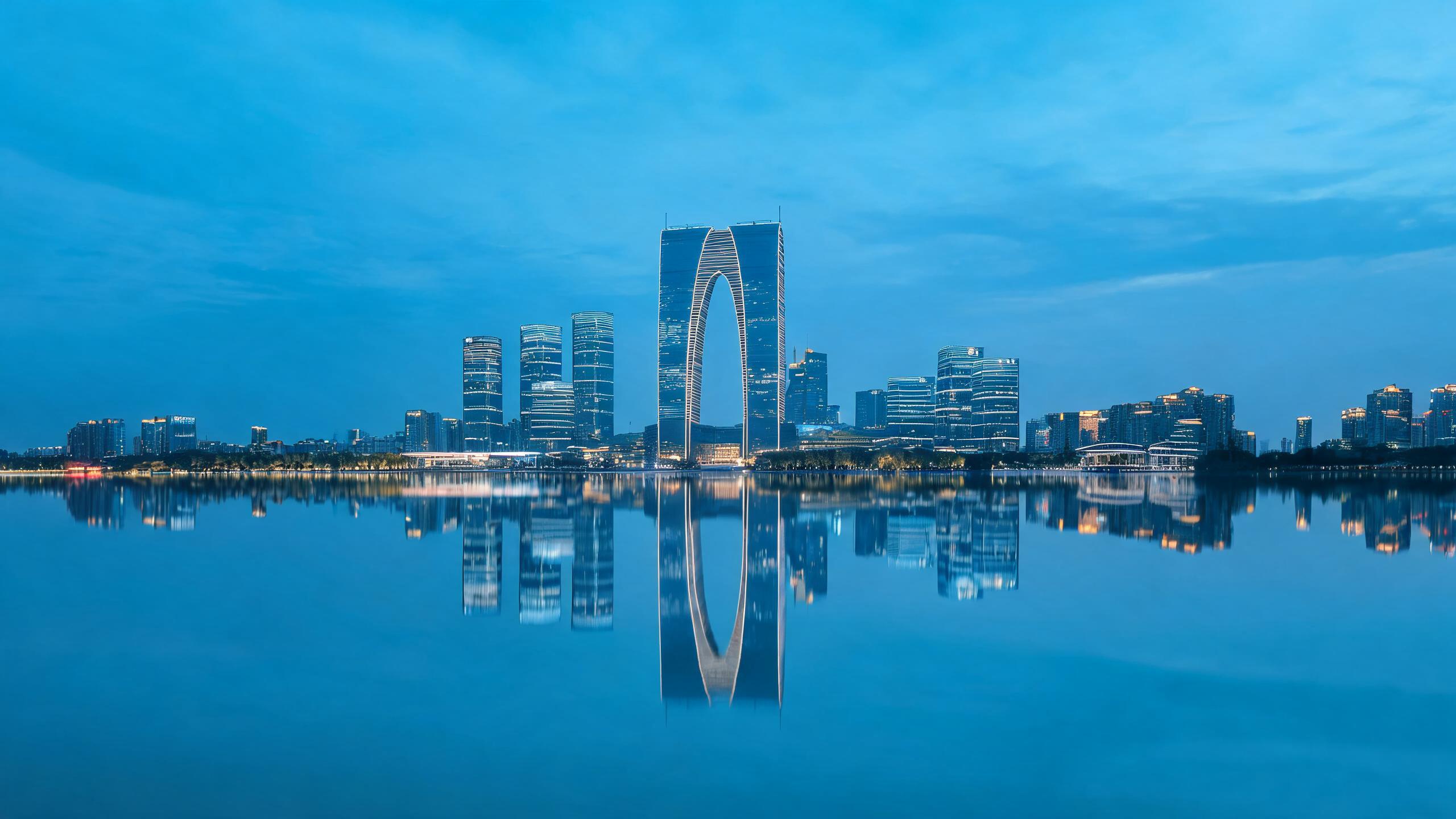
Nanjing pairs a Ming-dynasty city wall with one of China's strongest university and software sectors — a Yangtze-delta hub of chips and AI behind eight-hundred-year-old city gates.
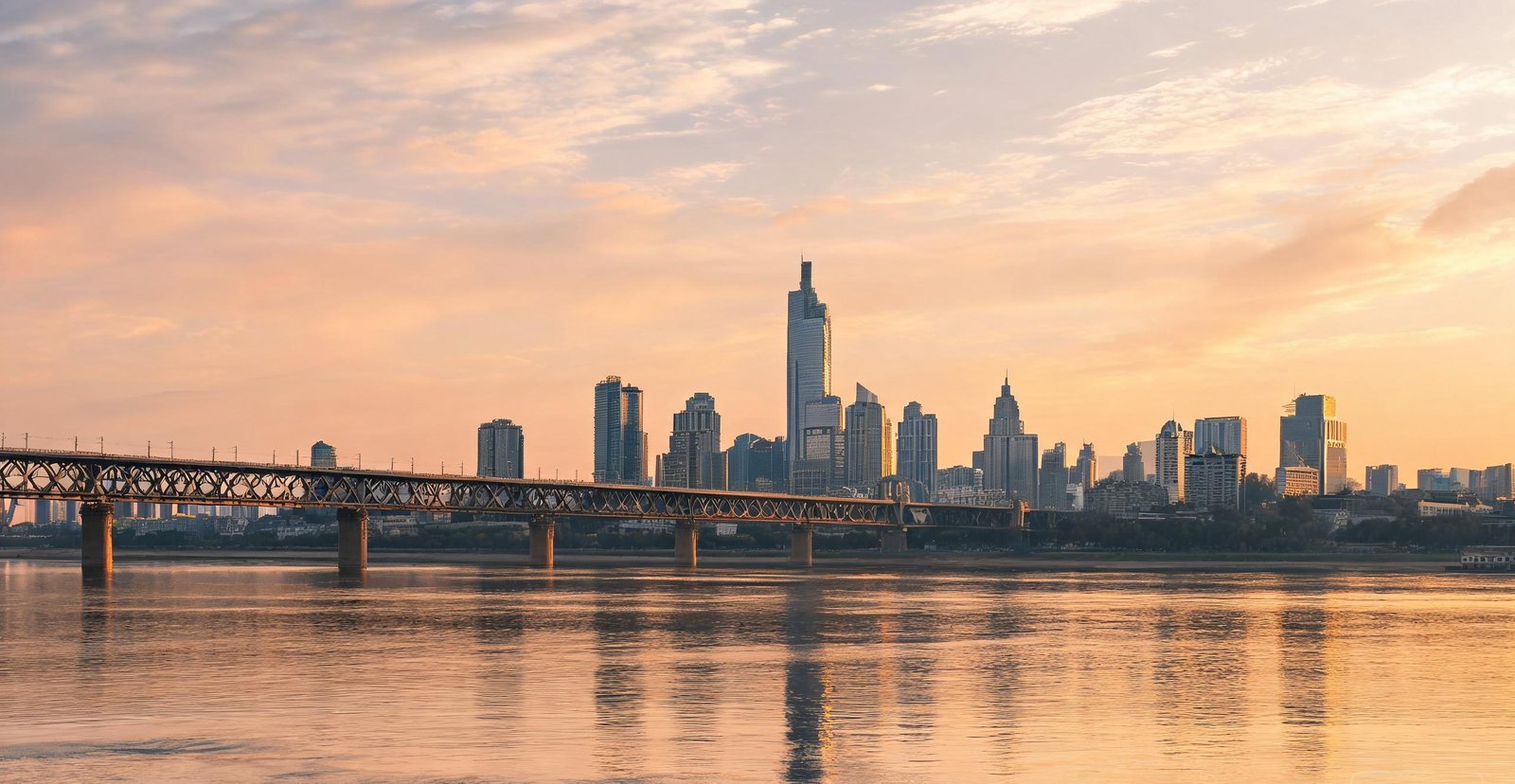
The new district grew on the Jiangbei bank because a double-deck road-and-rail span, the Nanjing Yangtze River Bridge, tied that bank to the city.
A surviving circuit of the Ming capital's rampart, the Ming City Wall still has gates that line up with the streets beyond them.
A monorail running straight through a Chongqing apartment block
#11 — Chongqing
Chongqing: Cars, Computers and a Three-Dimensional City
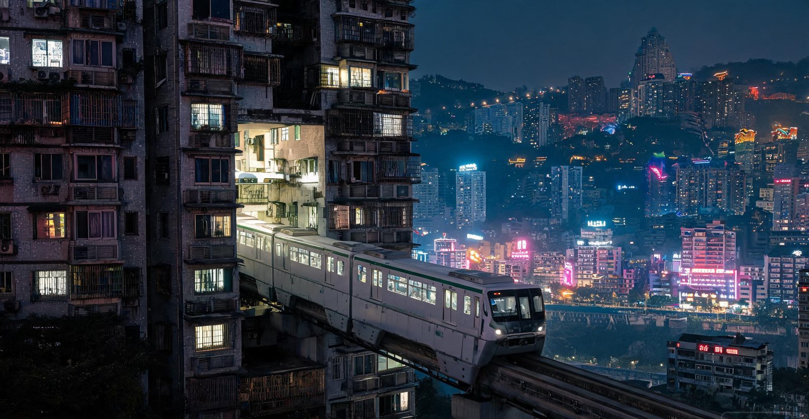
Built on steep hills where the Yangtze meets the Jialing, Chongqing stacks roads, rails and towers into layers — a city that looks like a science-fiction set. It is also a manufacturing giant: home of Changan, one of China's big-four automakers, a major motorcycle producer, and a huge laptop base where global brands have their notebooks assembled. Electric-vehicle upstarts now crowd the same hillsides.
Changan Automobile is one of China's big four carmakers, and its headquarters sit on these hills.
How big is the laptop base? Chongqing is a top global site for notebook assembly and electronics.
On the Liziba stretch, the monorail runs through a residential block: the hillside left room for a rail deck and nothing else. Hongyadong's stilted lights follow the same logic.
Natural Wonders
Mountains, Rivers and Karst
From karst peaks and salt flats to volcanoes, rainforest and the world’s deepest canyon — the landscapes that define China.
Tap a marker on the map — then swipe left or right, or use the arrows, to browse the cities.
Sandstone pillars rising out of the mist in Zhangjiajie
#1 — Zhangjiajie
The Floating Mountains That Inspired Avatar
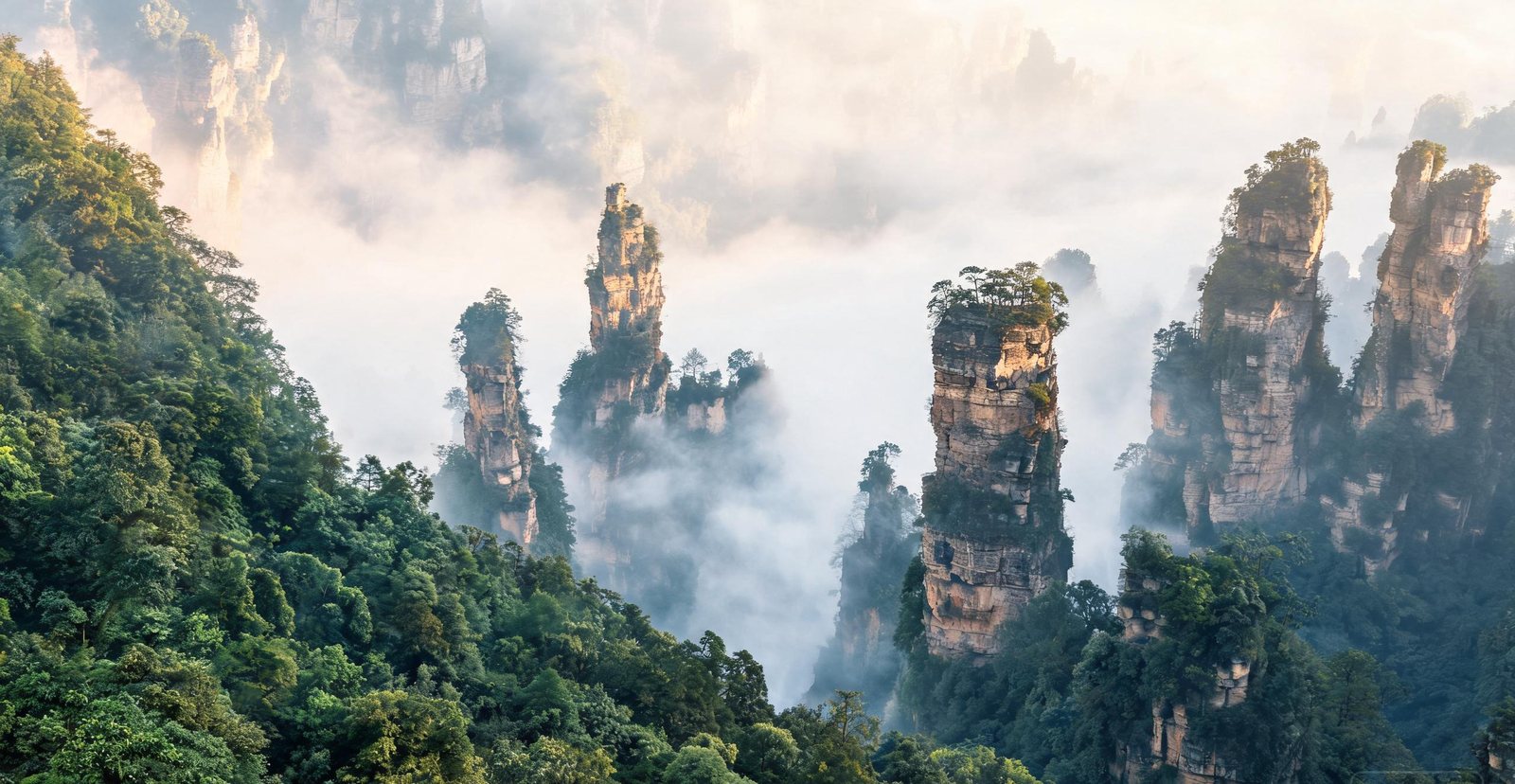
The pillars are quartz sandstone, cut by water along vertical joints over hundreds of millions of years — the same process that builds Guilin's towers, working on a harder rock. Wulingyuan holds around 3,000 of them, and Tujia and Miao villages were farming these valleys long before the park existed. A 2010 film borrowed the scenery and renamed one pillar after its floating mountain; in Chinese the formation is still simply "the columns".
Why do these peaks stand apart? The rock is layered, and water widens cracks lengthwise faster than sideways, leaving pillars where hills should be.
Built into the cliff in 2002, the Bailong Elevator replaced a five-hour climb. It is still the tallest outdoor lift in the world.
Tianmen Mountain is a separate limestone ridge with a 131 m natural arch, reached by a cableway 7.5 km long.
430 m long and 300 m above the canyon floor, the glass bridge opened in 2016 as a detour, never a through-route.
Who lives inside the park boundary? Tujia and Miao settlements do, and the World Heritage listing covers the villages as part of the landscape.
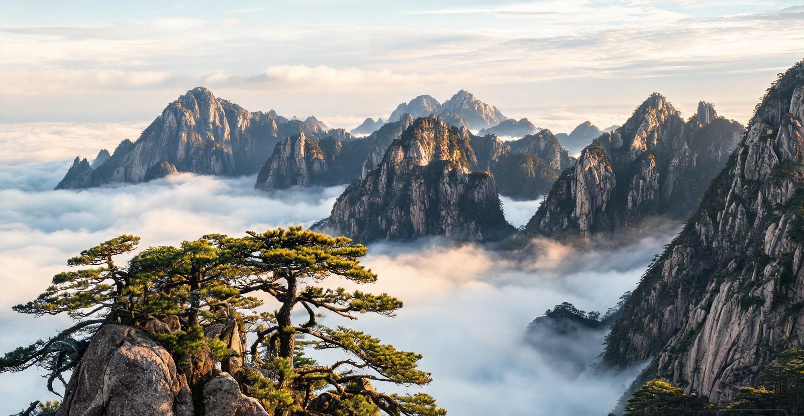
Huangshan is granite, not limestone, which is why it gives peaks instead of caves: the rock cooled underground, cracked as it rose, and weathered into vertical columns. The pines grow out of those cracks with almost no soil, and their flat, windswept shapes became the vocabulary of Chinese landscape painting in the 17th century. The cloud sea is not decoration either — it forms when moisture from the valleys condenses below the summits, and it is why painters kept coming back for 1,200 years.
Only these peaks grow Pinus hwangshanensis, a pine that grows slowly enough to twist.
Lotus Peak, at 1,864 m, and Bright Summit are the two highest, and the west sea is a separate granite gorge.
In the 17th century, artists who had withdrawn from the Qing court lived on the mountain and painted the Huangshan school.
Hot springs have been recorded since the Tang and are the fourth of the features that made the mountain famous: pines, rocks, cloud, water.
Built with salt-trade money, Hongcun & Xidi are Huizhou merchant villages laid out around a man-made water system.
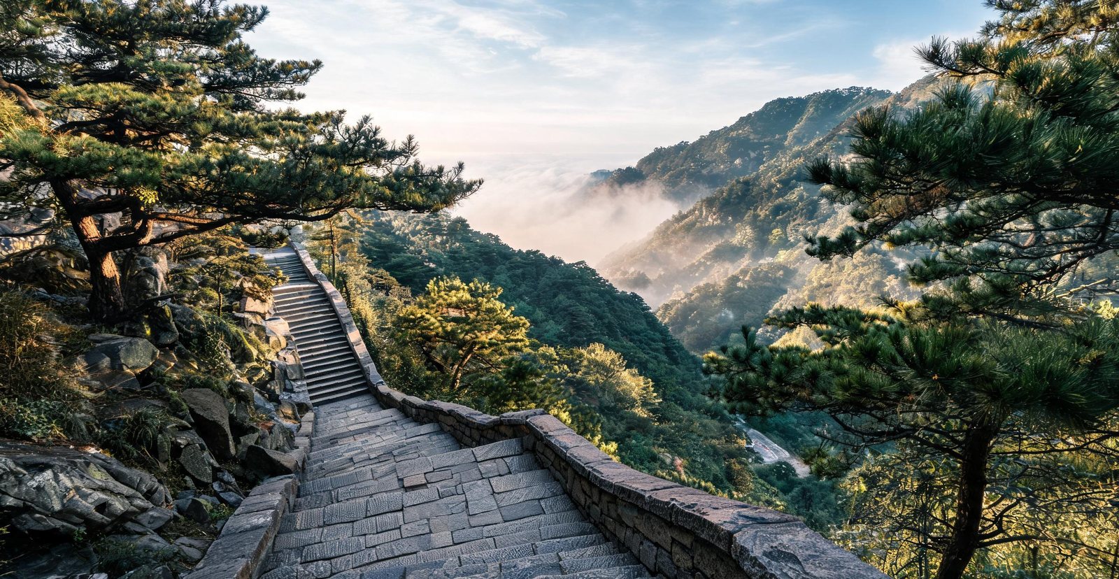
Read the full page →A stone stairway climbing the flank of Mount Tai toward sunrise
#3 — Mount Tai
Mount Tai: The Most Climbed Peak on Earth
For three thousand years emperors came to Mount Tai to announce their rule to heaven. The 7,200 stone steps to the summit are climbed by pilgrims who arrive before dawn for the sunrise.
What makes the final stretch to the South Gate of Heaven feel like the point of the climb? It is the Eighteen Bends, a stairway steep enough that the ascent becomes the pilgrimage.
At the foot of the mountain, Dai Temple is where emperors stopped before climbing. Its inscriptions record the rites, not the scenery.
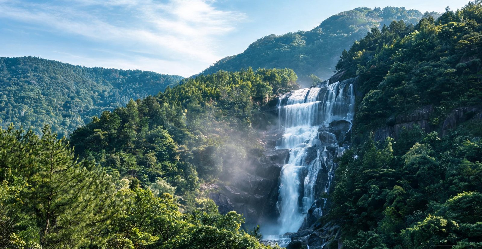
A waterfall plunging through green cliffs on Mount Lu
#4 — Mount Lu
Mount Lu: Waterfalls and Mountain Mists
Rising 1,474 metres out of the Yangtze plain, Mount Lu hides waterfalls, temples and a European-style mountain village in clouds that inspired Chinese poetry for centuries.
Three drops, not one: the water of Three-Step Spring runs in tiers over ledges of harder rock, and that is why it breaks three times.
Built high on the ridge by foreign residents and officials, Guling is a resort town of stone villas; that is why the architecture looks European.
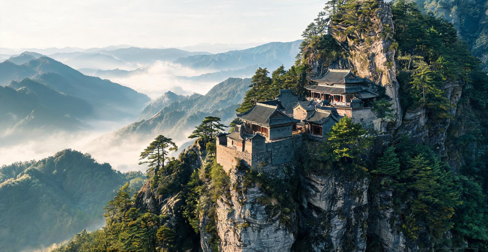
Taoist temple halls stacked on a misty ridge at Wudangshan
#5 — Wudang Mountains
Wudang: Cradle of Tai Chi
The birthplace of tai chi and the Taoist martial arts, Wudang is a UNESCO mountain of ancient temple complexes stacked on cliffs and wrapped in cloud.
The Golden Hall is a bronze building on the summit, cast in sections and carried up. Its cliff-face counterpart is Nanyan Palace, built into the rock.
In these courtyards tai chi was developed as a martial art, and it is still practised as one.
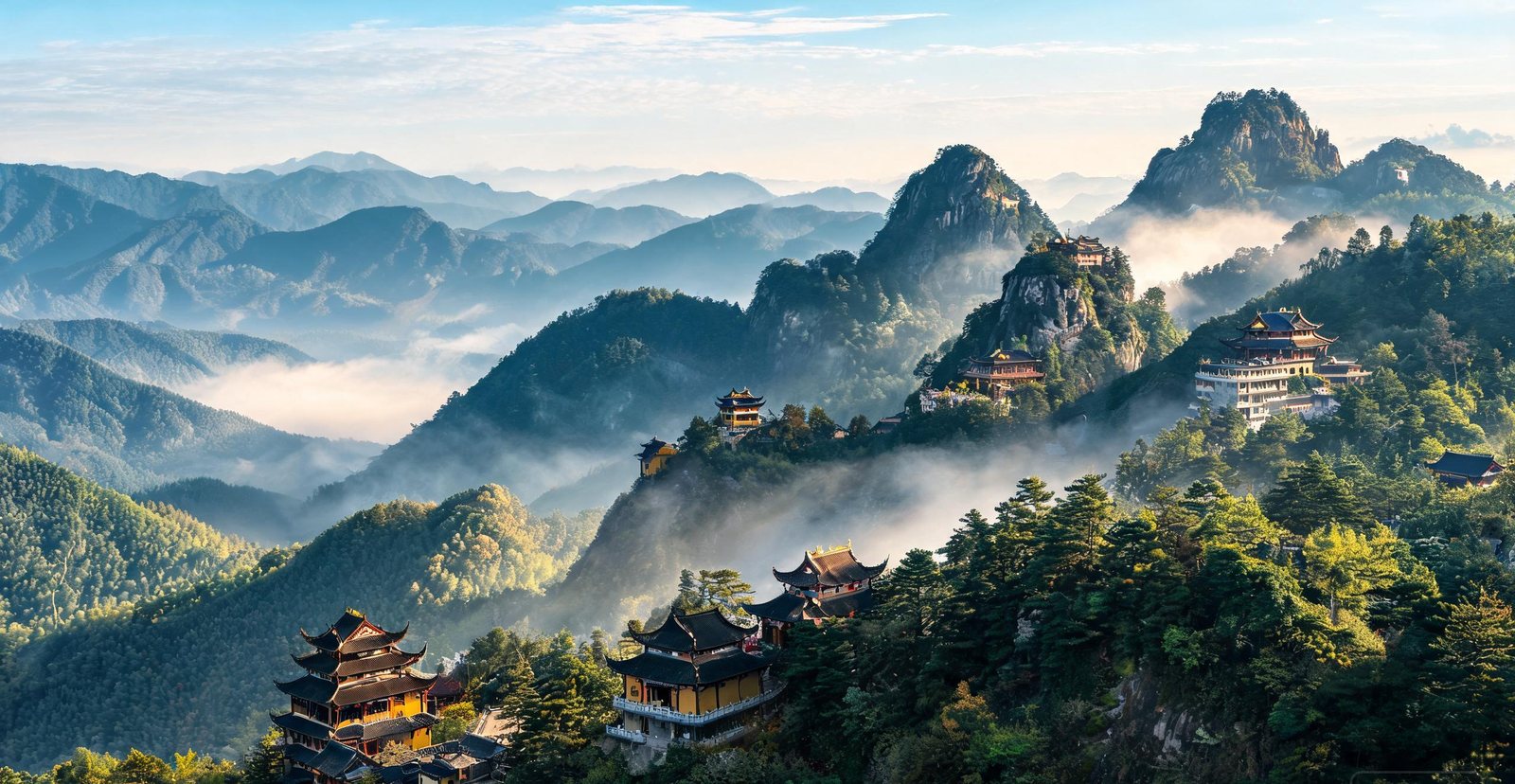
Temple roofs and incense smoke on Jiuhua Mountain
#6 — Jiuhua Mountain
Jiuhua: One of the Four Sacred Buddhist Mountains
Named for its nine lotus-like peaks, Jiuhua is a pilgrimage mountain of 99 temples, drifting incense smoke and Buddhist libraries fourteen centuries old.
Tiantai Peak is the highest of the nine, and the pilgrimage path runs temple to temple along the ridge.
Inside the Body Hall, seated and lacquered bodies of monks are venerated. The practice is tied to the mountain's reputation for ascetic burial.
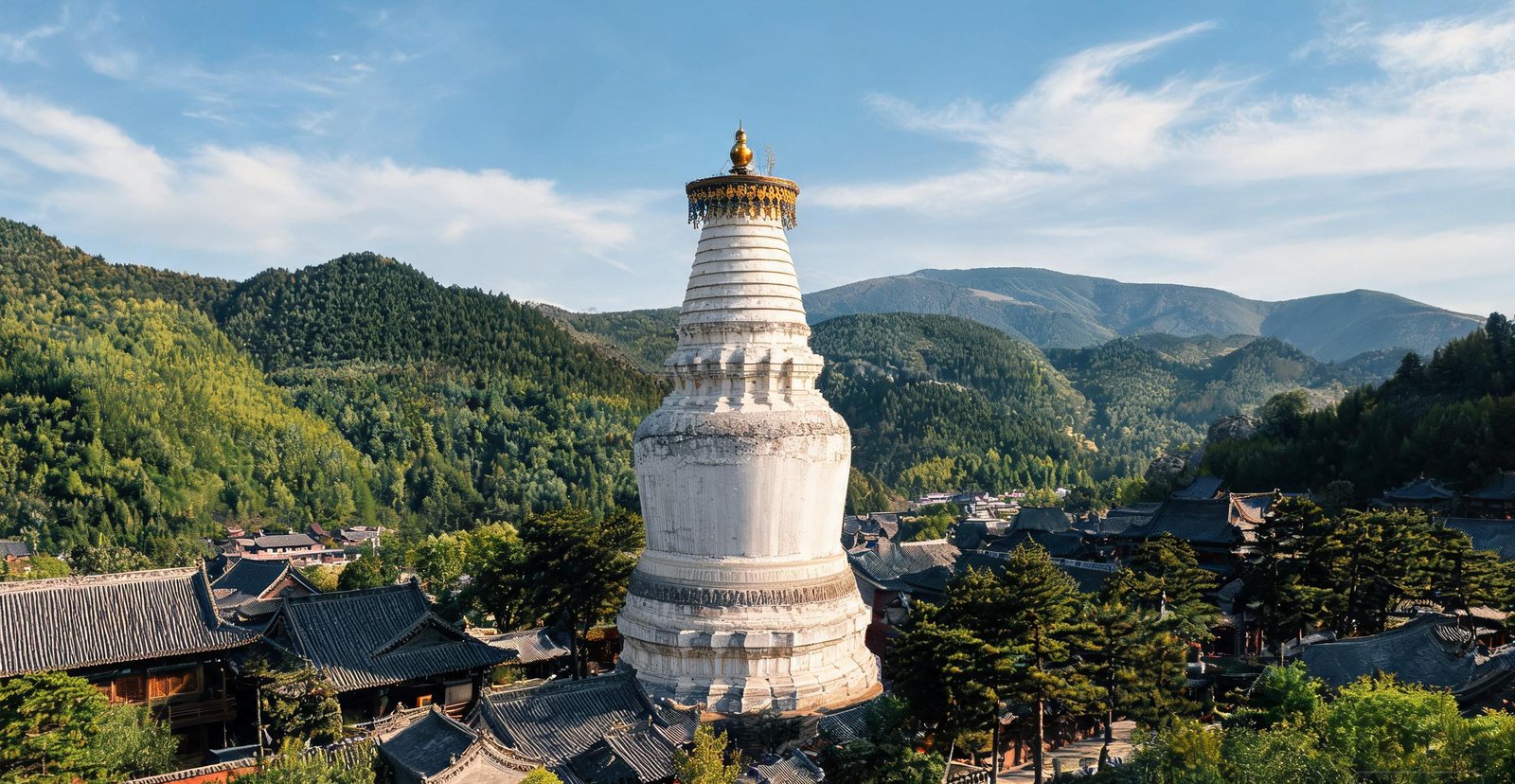
The Great White Pagoda and temple roofs at Wutai Mountain
#7 — Wutai Mountain
Wutai: The Buddhist Roof of North China
Five flat-topped peaks, cool all summer, make Wutai the most revered Buddhist mountain in North China — its wooden halls date back to the Tang dynasty.
Because the mountain was remote, the wooden halls of Nanchan and Foguang survived. Their bracket sets preserve the Tang carpenter's system.
Pilgrims circle the Great White Pagoda at Taihuai, and the town grew around it, not the other way round.
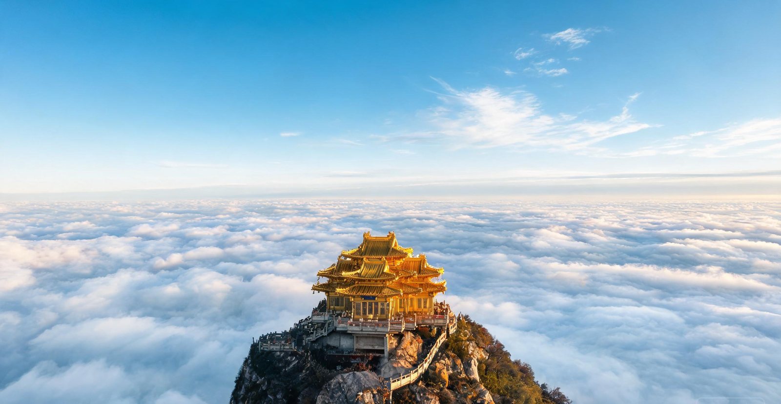
Cloud sea below the golden summit statue on Mount Emei
#8 — Mount Emei
Emei: Monkey Troops and a Golden Summit
The tallest of China's four sacred Buddhist mountains rises 3,099 metres — monkeys patrol the trails and the golden summit statue looks out over an ocean of cloud.
Why does the Golden Summit look down on a sea of clouds? Moist valley air condenses under an inversion and forms the cloud sea below the ridge.
At Qingyin Pavilion the macaques are habituated to handouts. Their raids follow from feeding, not from tameness.
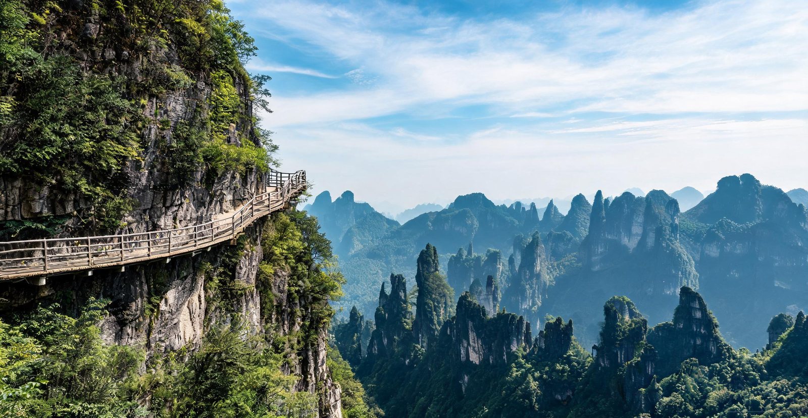
Karst spires and a cliff walkway inside Enshi Grand Canyon
#9 — Enshi Grand Canyon
Enshi Grand Canyon: Karst Spires and a Cliff Walk
Enshi hides a canyon of 300-metre karst columns, a walkway bolted to a vertical cliff, and the slender 'One Incense Stick' spire that looks too thin to stand.
Because the canyon floor is impassable, the cliff boardwalk is bolted to a vertical wall. It crosses the spires at their midpoint.
The Yunlong Ground Rift is a collapsed cave chamber open to the sky, which is why its walls are sheer and its floor stays damp and green.
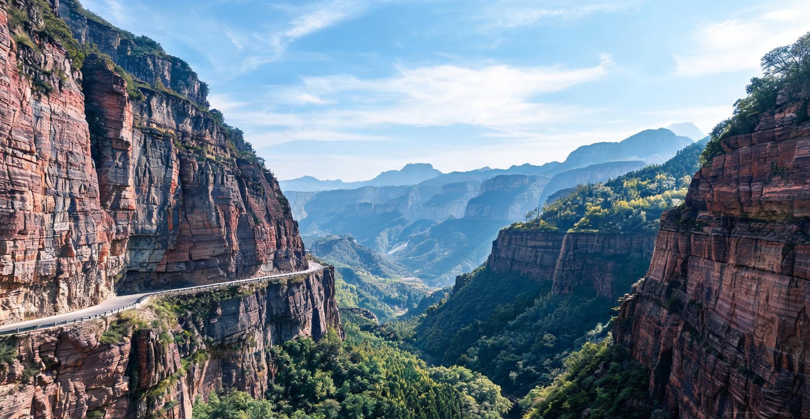
A road carved along the cliff wall of the Taihang Grand Canyon
#10 — Taihang Grand Canyon
Taihang Grand Canyon: Cliff Gorges of the North
Cut by the Taihang range along the Hebei-Henan border, this canyon walls a gorge of plunging cliffs, hanging villages and glass viewing platforms.
Cut into a cliff ledge because the valley floor offered no route, the Taihang Sky Road links villages that had been reached on foot.
The walls of Peach Blossom Valley, a side gorge, shelter it from wind and hold the sun, so its peaches flower before the open slopes do.
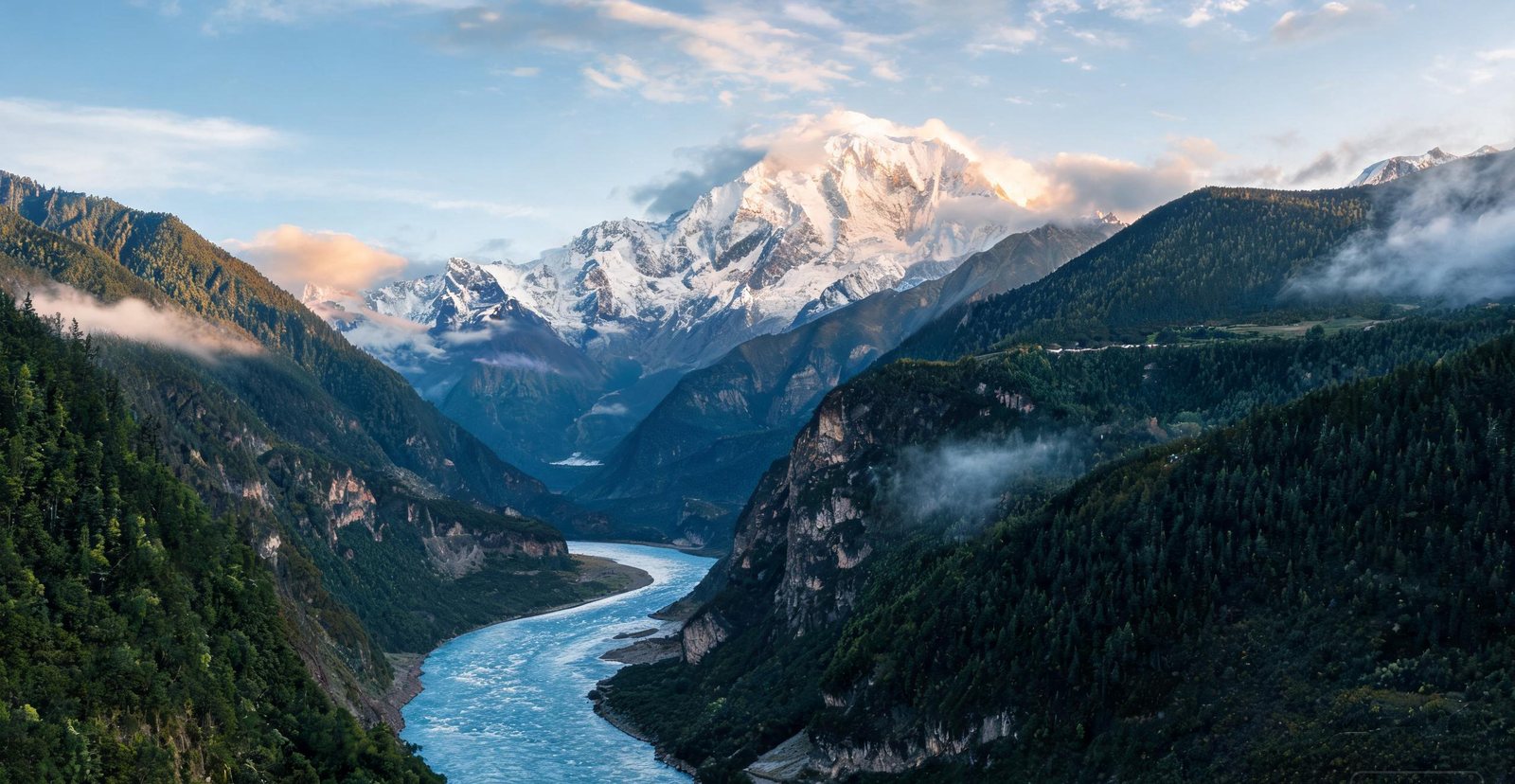
The Yarlung Tsangpo river bending around Namcha Barwa
#11 — Yarlung Tsangpo Grand Canyon
Yarlung Tsangpo: The World's Deepest Canyon
The Yarlung Tsangpo Great Canyon plunges 6,009 metres — deeper than any other on earth — then bends around the 7,782-metre peak of Namcha Barwa.
Where the water cuts against the rising massif, the canyon is deepest. There the river bends around Namcha Barwa.
Warmer earlier than the plateau above, the lower gorge at Nyingchi brings its peach trees into flower while the passes are still closed.
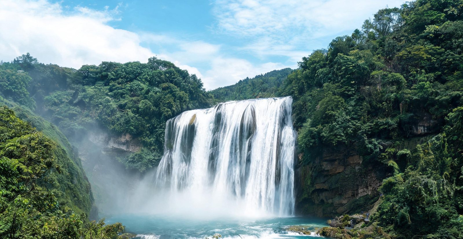
Huangguoshu waterfall thundering into a green gorge
#12 — Huangguoshu Falls
Huangguoshu: Asia's Great Curtain Waterfall
Seventy-eight metres high and 101 wide, Huangguoshu is the largest waterfall in Asia, and a walkway runs behind the falling curtain of water.
Water Curtain Cave is a natural gallery behind the falling water, left standing because softer rock eroded out from under the lip.
Fed by monsoon rain, the fall changes width through the year, and the dry season leaves the curtain thin.
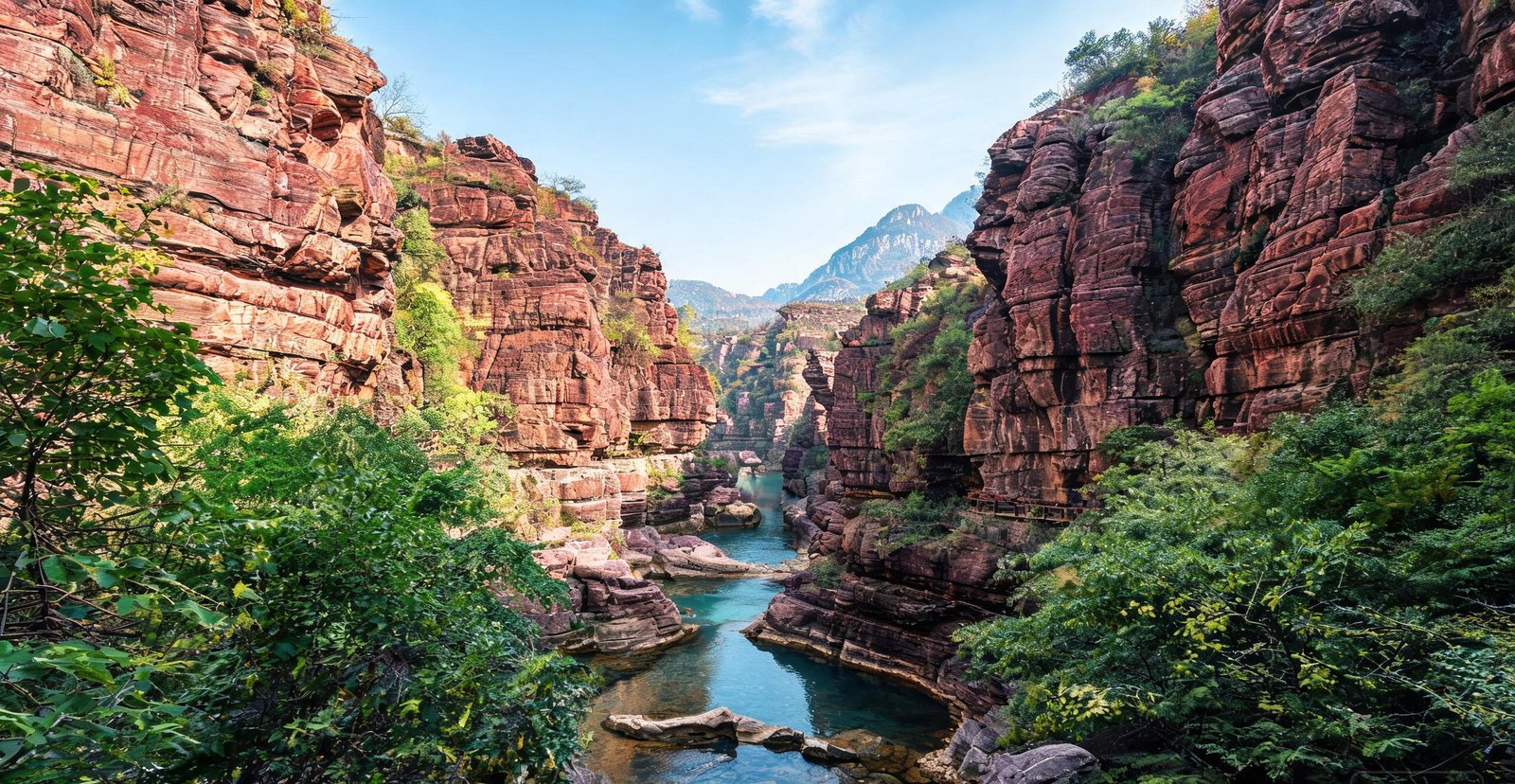
Red rock walls of the Red Stone Gorge at Yuntai Mountain
#13 — Yuntai Mountain
Yuntai: Red Rock Canyons and Terraced Falls
Yuntai Mountain stacks red-rock canyons, a 314-metre single-drop waterfall and the cliff-cut Red Stone Gorge into one easily walked park.
Because the floor of Red Stone Gorge is narrow, the boardwalk follows the water; the red comes from iron in the sandstone.
The Yuntai Sky Waterfall is a single drop over a resistant cap; after summer rain it carries the whole catchment of the plateau above.
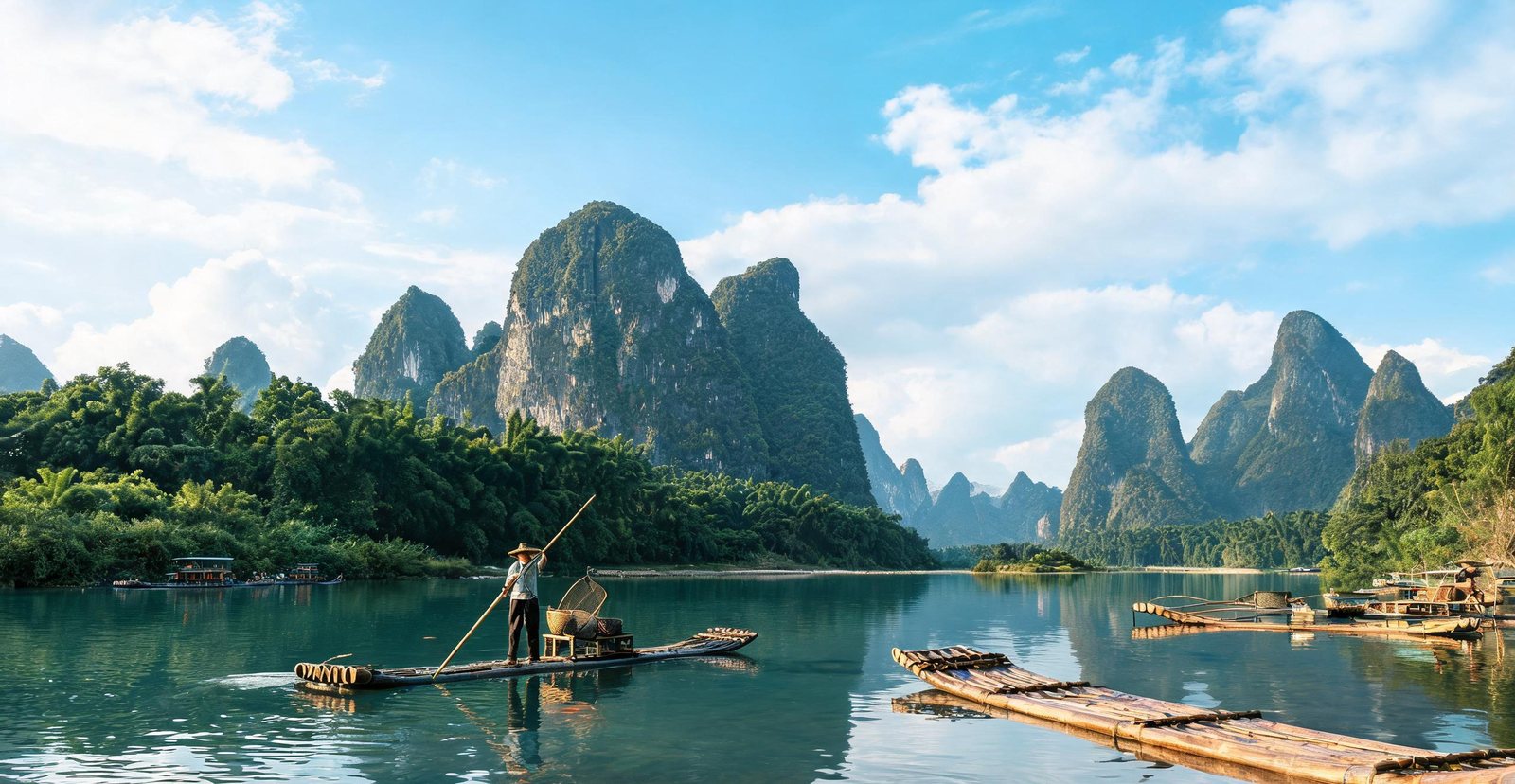
Bamboo rafts drifting past karst peaks on the Li River
#14 — Guilin & Yangshuo
Karst Peaks, River Fog, and Bamboo Rafts
Guilin's towers are limestone dissolved by rainwater over 300 million years — the chemistry of a cave, exposed at the surface. The Li cuts through them from Guilin to Yangshuo, and the bend at Xingping is the view printed on the back of the ¥20 note. The same karst runs on into Guizhou and Yunnan; Guangxi alone has more than 1,200 mapped peaks.
Why do the shapes change? Limestone dissolves from the top down, so old karst becomes cones and young karst stays as towers.
Since 1999 a bend, a raft and three peaks have been printed on the note, so the scenery would be recognisable across the country.
Reed Flute Cave is the same rock seen from inside, a dissolved chamber rather than a cave built for visitors.
On the flat ground rice grows, on the slopes tangerines, and hand-dug channels hold the water levels.
Cut into the hillside 100 km north, the Longji terraces took Zhuang and Yao farmers 700 years to build.
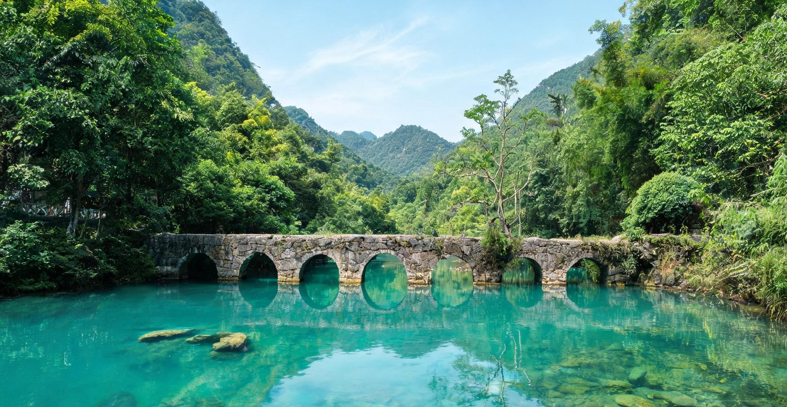
A seven-arched stone bridge from 1836 gives this Libo gorge its name — but the real draw is the terraced turquoise pools and forest streams tumbling through it.
Built in 1836, the Seven-Arch Bridge sets its arches low on purpose: each one frames a reflection, and still water completes the geometry.
Sixty-eight steps of travertine ledges carry the stream down, and each pool is dammed by the one above it.
Cone-shaped karst hills above rice paddies at Wanfenglin
#16 — Wanfenglin
Wanfenglin: Ten Thousand Karst Peaks
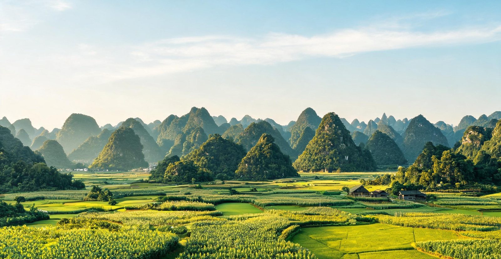
Thousands of cone-shaped karst hills rise straight out of the rice paddies around Xingyi, with lanes running between the villages at their base.
Walk the village lanes and the farm tracks that follow the irrigation channels between paddies, and the cones rise with no middle ground.
Morning mist settles into the gaps along Guanfeng Avenue, a ridge road that faces the whole field of cones and separates one peak from the next.
Floodlit stalagmites inside the vast Zhijin Cave
#17 — Zhijin Cave
Zhijin Cave: A Palace Underground
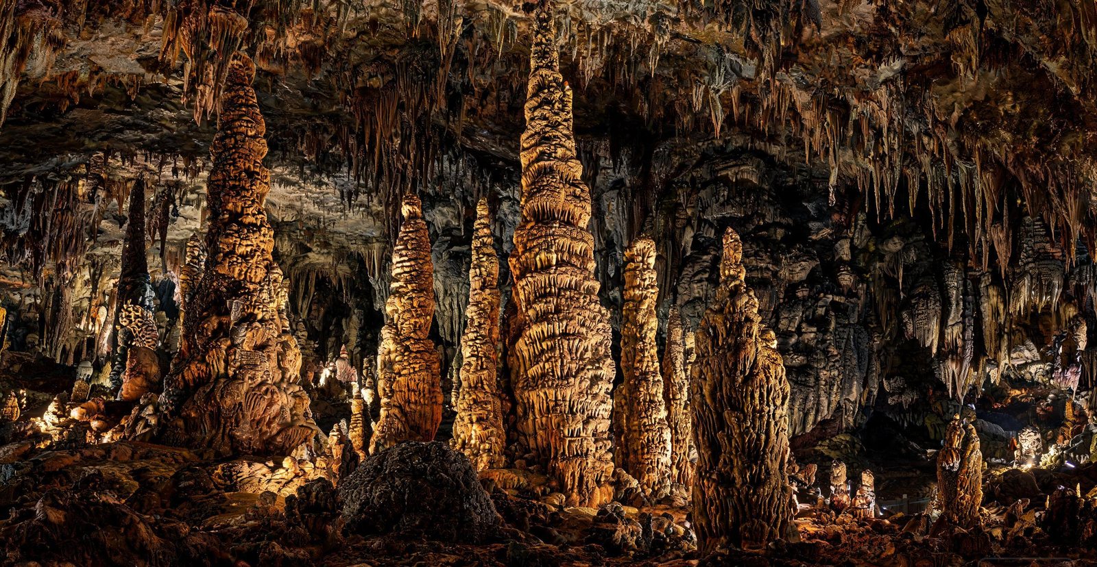
One of the largest caves in the world, Zhijin runs for kilometres beneath Guizhou, filled with forty-metre stalagmites that glisten under coloured light.
How does a stalagmite grow? Drip water deposits calcite, and that is how the Silver Rain Tree formed; the 'Helmet' column grew the same way, where a stalactite and a stalagmite met.
Cool in summer, warm in winter: the cave holds a near-constant temperature all year.
A boat gliding through the floodlit Benxi Water Cave
#18 — Benxi Water Cave
Benxi Water Cave: A River Underground
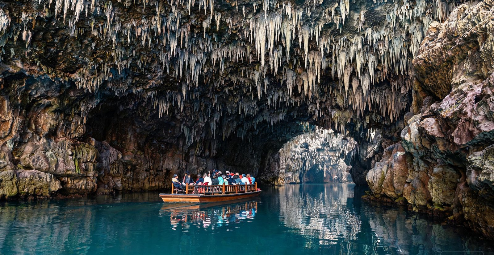
The longest navigable water cave in Asia, Benxi carries boats for nearly three kilometres past stalactites and stone falls.
Why can boats pass through the cave? A river runs through it at a near-constant level, cutting a tunnel rather than a shaft.
The boat ride alone cannot show you how the cave was cut; the Benxi Geological Museum collection explains that.
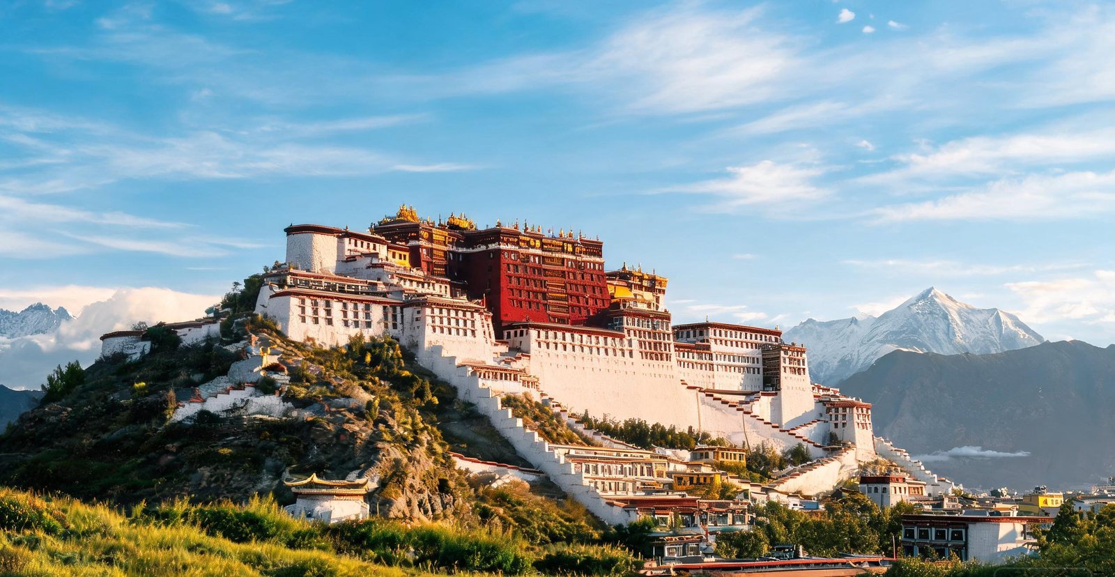
The Potala Palace rising above Lhasa under a deep blue sky
#19 — Lhasa: Potala Palace & Namtso
Lhasa: The Potala Above the Roof of the World
The thirteen-storey Potala Palace climbs a hill above Lhasa at 3,700 metres, and a few hours north lies Namtso — a turquoise salt lake at 4,718 metres.
Thirteen storeys climb the hillside at the Potala Palace: the white palace for administration, the red one for religion, joined by a single stair.
At dawn, pilgrims walk clockwise around the temple turning prayer wheels. The route, not the building, is the act.
Snow peaks of Meili above forests near Shangri-La
#20 — Shangri-La: Pudacuo & Meili
Shangri-La: Lakes, Meadows and a Sacred Peak
Yunnan's Tibetan corner holds the Pudacuo national park — alpine lakes and yak meadows — and the 6,740-metre Meili Snow Mountain, whose Kawagebo peak has never been climbed.
A shallow alpine lake ringed by spruce, Bita Lake has a boardwalk that keeps your feet off ground that would otherwise be mud.
While the valley is still dark, the unclimbed peak of Kawagebo takes the first light, which is why Feilai Temple faces it.
Snow peaks and a turquoise lake at Daocheng Yading
#21 — Daocheng Yading
Daocheng Yading: The Last Shangri-La
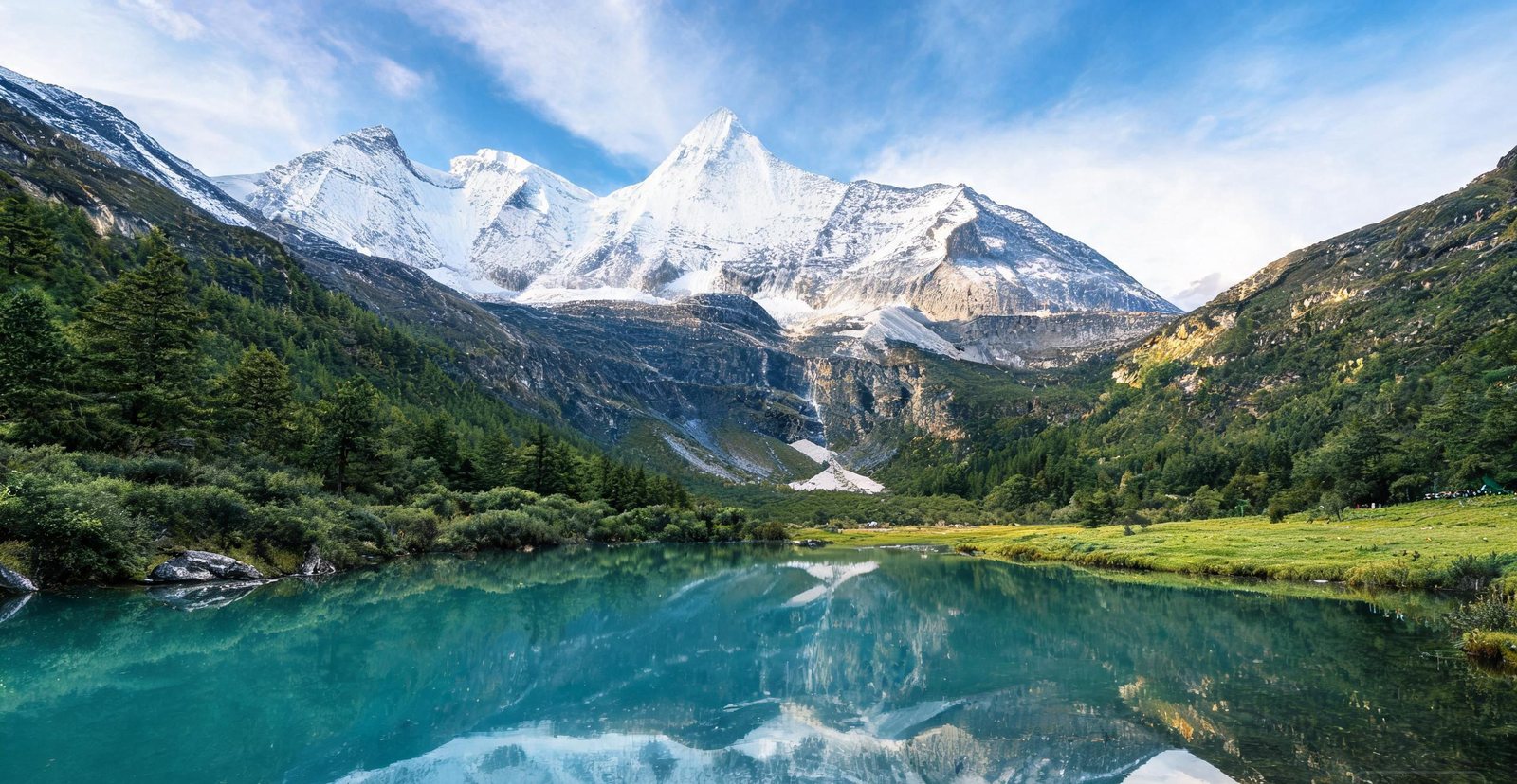
Three snow peaks over 5,900 metres, alpine lakes and yak-herder valleys once led explorers to call this Tibetan corner of Sichuan the last Shangri-La.
Below Xiannairi a glacial tarn takes its colour from rock flour held in suspension in the meltwater: Pearl Lake.
Yaks graze the Chonggu pasture in summer, reached by a valley that leads on to Milk Lake, milky with glacial silt.
Kanas Lake in autumn colour beneath forested ridges
#22 — Kanas Lake
Kanas: A Lake of Shifting Colours
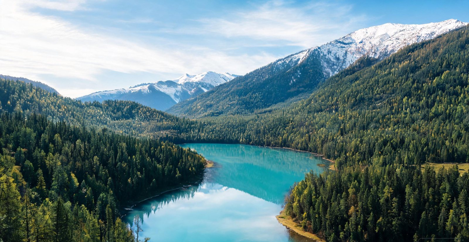
In the far north of Xinjiang, Kanas changes colour through the day — green, then blue, then silver — and the Tuva villages on its shore keep a herder's life.
What keeps the 'Kanas monster' story alive? Sightings of a giant fish in the lake, generally taken to be unusually large specimens.
Climb to the ridge above the lake for the Fish-Watching Pavilion, a lookout placed where the water changes colour most visibly through the day.
People walking across the mirror surface of Chaka Salt Lake
#23 — Chaka Salt Lake & Emerald Lake
Chaka and Emerald: Mirror Lakes of the Plateau
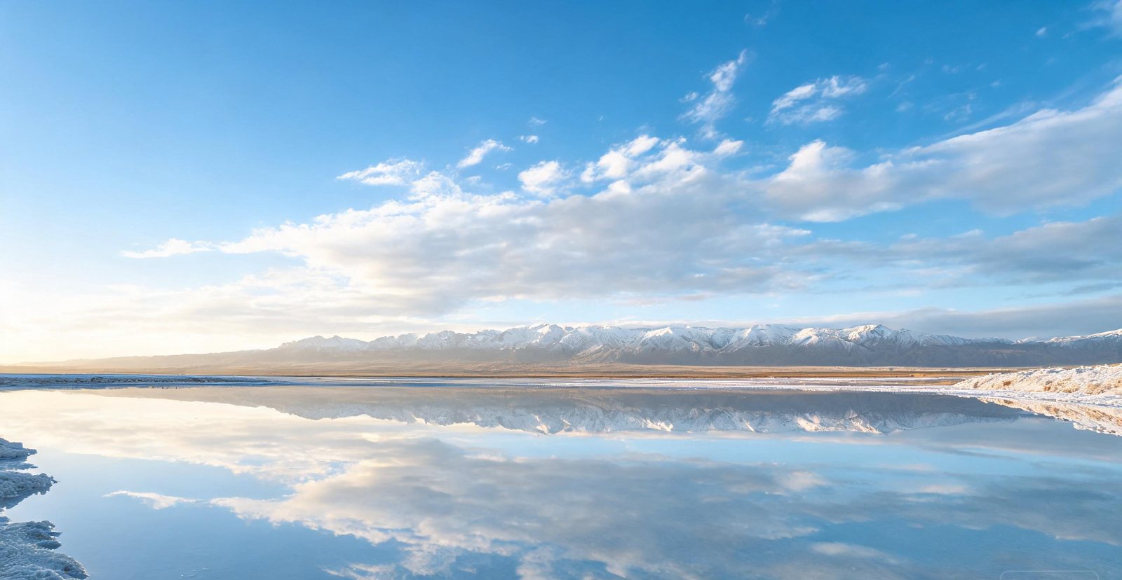
On the Tibetan plateau, Chaka Salt Lake turns into a giant mirror for the sky, while nearby Emerald Lake keeps a palette of green and blue pools in the desert.
A thin film of brine over the salt crust turns the lake into a mirror. The boardwalk keeps that surface unbroken.
In a dry basin the pools sit and take their colour from minerals in the brine, and wind is what breaks the reflection on Emerald Lake.
Crescent Lake cupped by towering sand dunes at Dunhuang
#24 — Mingsha Dunes & Crescent Lake
Mingsha and Crescent: Singing Dunes and a Lake
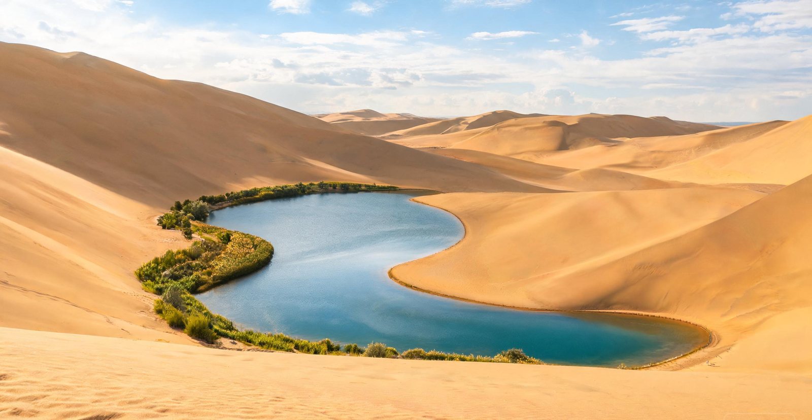
The 'singing sand' dunes of Dunhuang hum underfoot, and at their base a crescent-shaped spring has held water for two thousand years despite the desert all around it.
Wind loses speed at the valley edge, so sand piles up here, and the slope is steep enough that coming down is a controlled slide.
Why is there a lake at the foot of the dunes? Groundwater reaches Crescent Lake below the sand, and that is how the spring-fed crescent holds on.
Sand dunes dropping to the Yellow River at Shapotou
#25 — Shapotou
Shapotou: Where Desert Meets the Yellow River
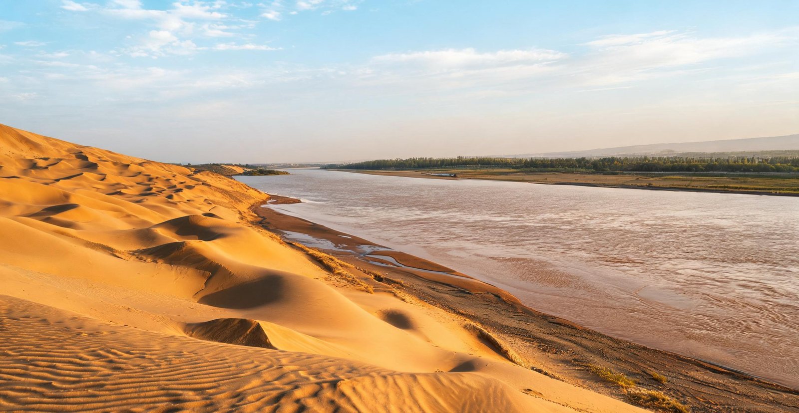
At Shapotou the Tengger Desert slides right up to the Yellow River — dunes on one side, green oasis and raft crossings on the other.
Here sand falls straight down to the Yellow River, which is why the descent is a slide rather than a walk.
Before engines, the local craft on this river were inflated hides lashed to a frame and steered with the current: sheep-skin rafts.
Red ridges of the Flaming Mountains above Turpan
#26 — Turpan: Flaming Mountains & Grape Valley
Turpan: Flaming Mountains and Grape Valley
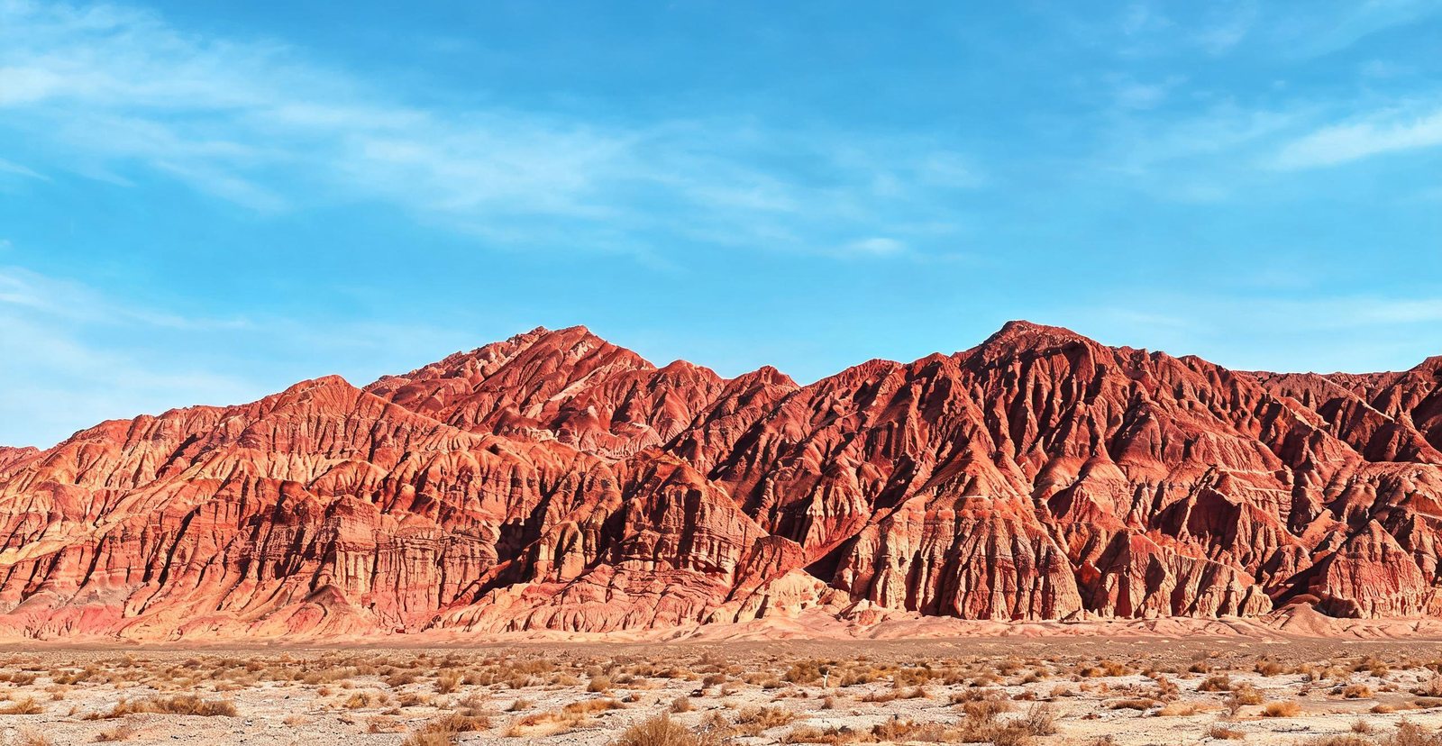
Turpan sits in a furnace-like basin 154 metres below sea level — the Flaming Mountains glow red in summer while Grape Valley stays a green ribbon of vines and courtyards.
No vegetation breaks the light on these bare red sandstone ridges, so at midday the Flaming Mountains read as heat.
In a basin that is otherwise bare, vines grow only because meltwater from the Tianshan feeds the floor of Grape Valley.
Turquoise water and white sand at Yalong Bay, Hainan
#27 — Sanya: Yalong Bay & Wuzhizhou Island
Sanya: China's Tropical Coast
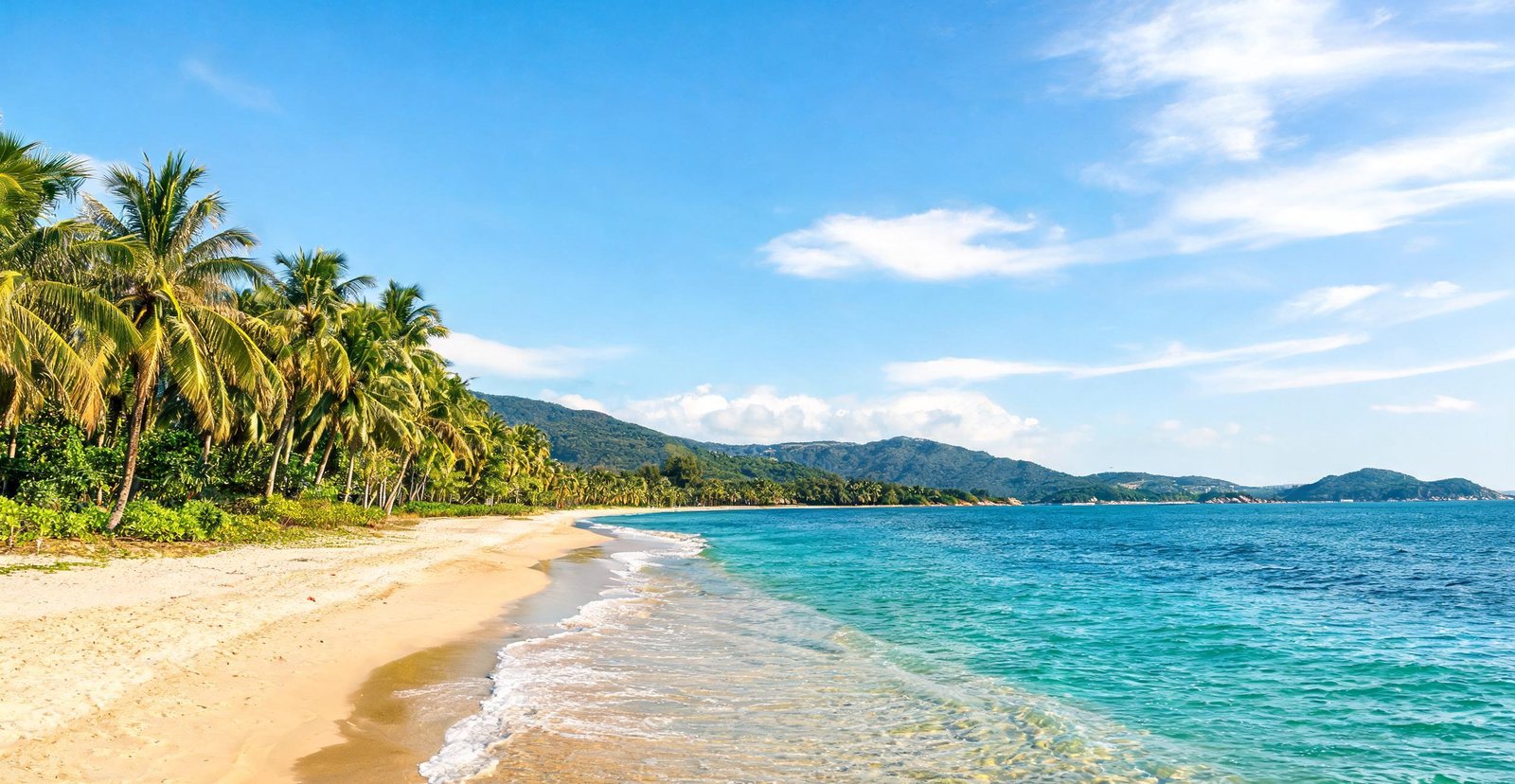
Hainan's southern tip is China's beach capital — Yalong Bay's white sand and the coral reefs and dive sites off Wuzhizhou Island.
Why does the shallows off Wuzhizhou hold fringing coral? The island shelters them from open-sea swell.
Yalong Bay opens to open water, not to a river mouth. Nothing clouds the horizon, and first light reaches the sea unbroken.
Island temples on Putuo Mountain off Zhoushan
#28 — Zhoushan: Dongji Islands & Putuo
Zhoushan: Island Monasteries and Blue Water
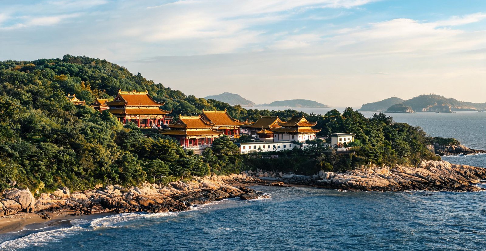
Off Ningbo, the Zhoushan archipelago holds Putuo Mountain — a sacred Buddhist island of temples and beaches — and Dongji, remote eastern isles of blue water and fishing villages.
Only by boat can you reach Putuo Mountain, a Buddhist island, and that isolation kept it monastic. Its 33-metre Guanyin faces the open sea.
Dongji holds the easternmost inhabited islands, so nothing but open water stands between them and the sunrise.
Qingdao's red-roofed houses above the Yellow Sea coast
#29 — Qingdao: Laoshan & the Coast
Qingdao: Beer, Sea Cliffs and a Taoist Mountain
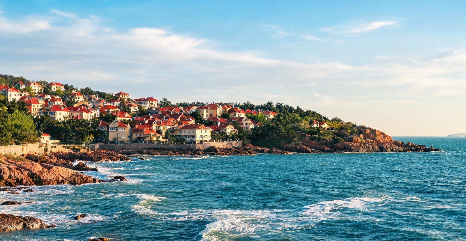
Qingdao's red-roofed seaside town pairs a German-era old quarter with Laoshan — the highest coastal mountain in China, tumbling straight into the Yellow Sea.
Straight out of the Yellow Sea rises Laoshan, a granite massif; from the Giant Peak the view falls on water, not on plain.
Zhanqiao Pier is the older landing point the town grew from. Badaguan then runs villas in several national styles along roads named for famous passes.
Volcanic cliffs and clear water on Weizhou Island
#30 — Weizhou Island
Weizhou: A Volcanic Island in the Gulf
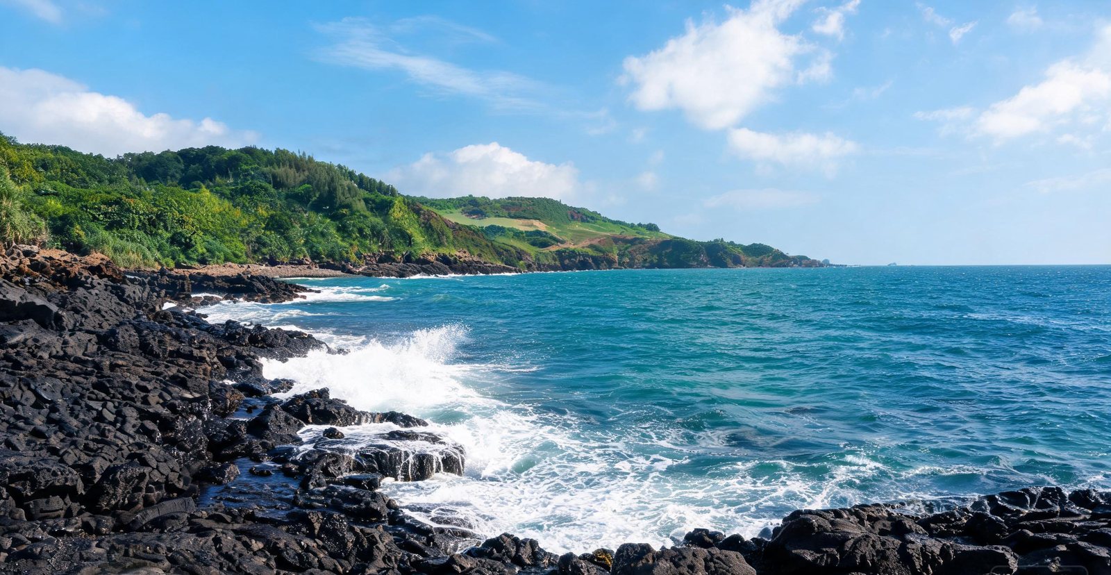
China's youngest volcanic island, Weizhou off Beihai has a basalt-crater coastline, coral shallows and a lighthouse on its highest point.
At Crocodile Hill the crater opens to the sea, and the lava cliffs are where the basalt cooled into columns.
Coral needs something to attach to, and on this island the volcanic rock gives it that hold. That is why reefs form close to shore here.
Towering pine trunks in the primeval forest near Yichun
#31 — Yichun: Korean Pine Forest
Yichun: Into the Primeval Pine Forest
In China's far northeast, Yichun protects some of the last old-growth Korean pine forest — canopies of red pine hundreds of years old, over a floor of moss and mushrooms.
What keeps the moss and pine seedlings alive? Boardwalks at Wuying forest park hold visitors off a floor that would not survive trampling.
In autumn the larch turns gold before it drops, and the maples beneath it turn red. The forest reads as two layers.
Snow-covered timber houses at Beiji Village, Mohe
#32 — Mohe: China's Arctic Village
Mohe: China's Northernmost Point
Beiji, the 'Arctic' Village, sits at the top of China, where the winter mercury hits minus forty, timber houses glow under deep snow, and the aurora occasionally flickers.
A marker on the Heilongjiang marks the northernmost point, where the river itself is the border. The position, not the monument, is what counts.
Down to minus forty the mercury goes, and the aurora occasionally shows; the ice festivals exist because the cold is reliable.
Dense tropical rainforest canopy in Xishuangbanna
#33 — Xishuangbanna Rainforest
Xishuangbanna: China's Tropical Rainforest
Bordering Laos and Myanmar, Xishuangbanna is China's only true tropical rainforest — home to wild elephants, Dai bamboo houses and nightly displays of fireflies.
Why do fireflies gather here? The understory stays humid enough for them to breed, and their displays are seasonal rather than nightly.
Dai houses lift the living floor above damp ground and monsoon floods on stilted timber and bamboo, with animals kept below.
Reed channels and wooden boats in Xixi Wetland, Hangzhou
#34 — Xixi Wetland
Xixi: Hangzhou's Urban Wetland
A maze of reed channels, persimmon trees and old water villages just outside Hangzhou, Xixi was among China's first national wetland parks.
Across the wetland, diked waterways form a network, and boats remain how the water villages are worked.
Persimmon trees grow on the dikes between channels, and the fruit is picked in autumn when the water is low.
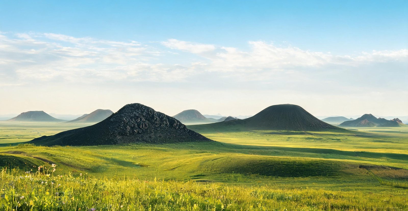
A dark volcanic cone rising from Inner Mongolian grassland
#35 — Ulanqab Volcano Group
Ulanqab: Volcanoes on the Grassland
Rising straight out of Inner Mongolian grassland, the Ulan Hada cones are among China's best-preserved Quaternary volcanoes — some with craters open enough to enter.
A complete cone, Crater Three earns that reading because its rim is intact enough to walk.
A dirt road links the cones across open steppe, where no fence or field interrupts the volcanic field.
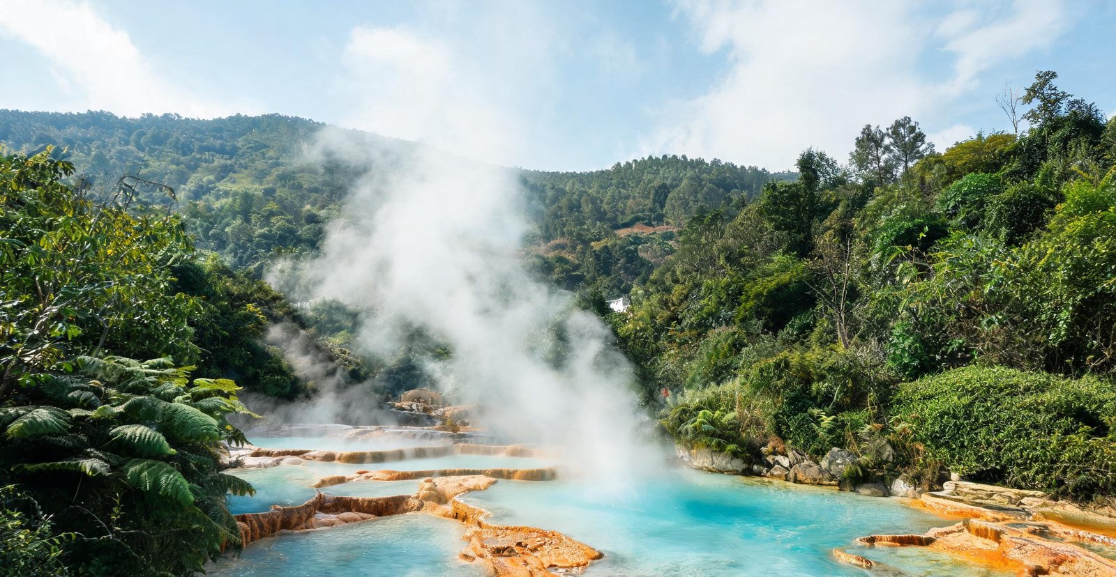
Steam rising from the hot springs at Rehai, Tengchong
#36 — Tengchong: Hot Springs & Volcanoes
Tengchong: Steam Vents and Dormant Cones
On the Myanmar border, Tengchong bubbles with the Rehai hot sea — boiling springs and fumaroles — and a field of ninety dormant volcanic cones.
How hot is Big Boiling Pot? Hot enough to cook an egg, fed by groundwater heated deep under the volcanic field.
Cones and a caldera sit close enough to be read in one view, yet the scale only resolves from above.
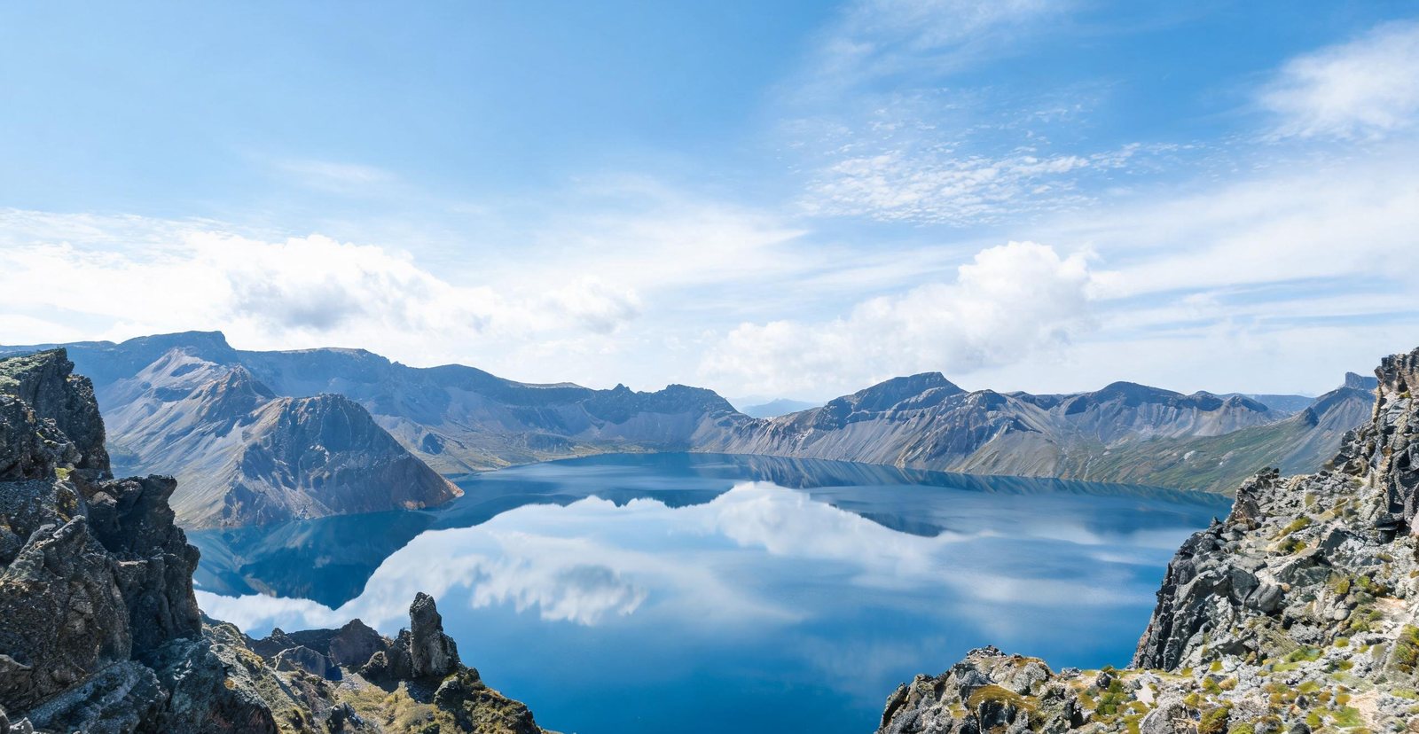
Heaven Lake filling the volcanic crater of Changbai Mountain
#37 — Changbai Mountain & Heaven Lake
Changbai: Heaven Lake on the Volcano Rim
China's highest volcanic lake fills a crater at 2,189 metres on the North Korean border — reached by a 1,400-step climb and wrapped in cloud most days.
Only from the crater rim can the lake be seen, so both slopes end in stairs cut to the same lip.
Cloud gathers on the rim through the day, so Heaven Lake is usually visible before the updraught builds.
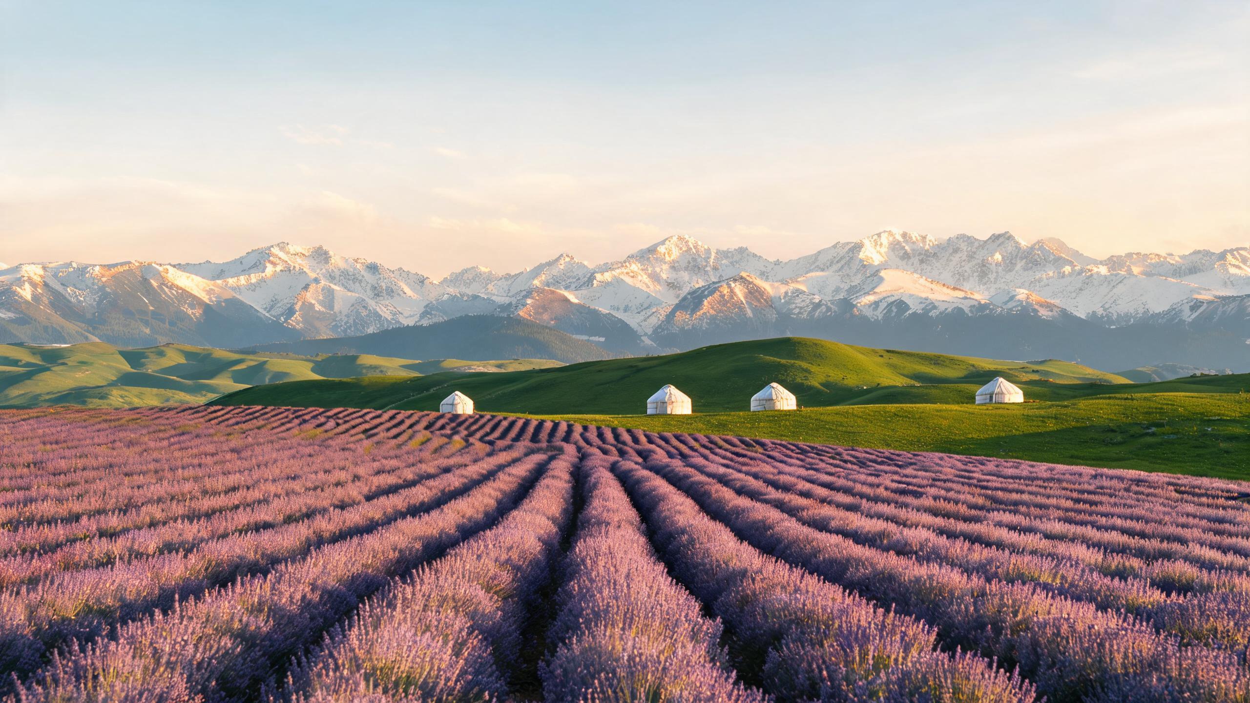
Lavender rows in the Ili Valley beneath the snow peaks of the Tianshan
#38 — Ili
Ili: Lavender, Grassland and Sayram Lake
A green pocket in dry Xinjiang, the Ili Valley runs on meltwater from the Tianshan. In June the fields around Huocheng turn purple with lavender, Kazakh herders move their flocks onto the Nalati grasslands, and Sayram Lake holds its impossible blue at 2,070 metres.
Grown for oil rather than flowers, lavender is cut and distilled, so the purple lasts only a few weeks.
Yining is the valley's main town, set where the roads to the passes meet, and valley distances are measured from it.
The Places Are Only Half the Story.
Why a hall faces south, why a town bends around its water, why a festival belongs to one drowned poet — the culture section picks up where the map leaves off.